


Wir haben diese Tour mit dem E-Mountainbike gemacht.
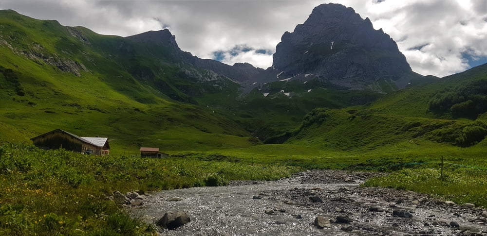
Ursprünglich war eigentlich nur eine Runde von Lech zum Spullersee und über das Stierlochjoch wieder zurück angedacht.
Da vieles aber mit dem E-Bike leichter und schneller geht , haben wir uns dann im Ortsteil Zug entschlossen nochmals taleinwärts zu fahren und hinauf zum Formarinsee radeln.
Wer so wie wir zu beiden Seen radeln will der sollte von Lech zuerst zum Formarinsee und dann erst zum Spullersee radeln. Insbesondere E-Mountainbikeanfänger empfehlen wir allerdings vom Spullersee auf der Normalstrasse wieder zurück nach Lech zu radeln und nicht die Tour über das Stierlochjoch zu nehmen. (teils sehr steil!)
Für erfahrene Biker ist das Stierlochjoch kein Problem.
Further information at
https://www.satcom.at/radtouren/Tour gallery
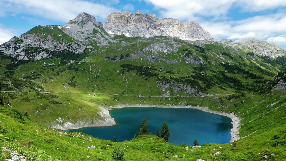
Tour map and elevation profile
Minimum height 1439 m
Maximum height 1991 m
More about the tour author
|
|
GarminSalzburg |
Comments
Ausgangspunkt unserer Tour ist Lech. Wir starten in der Nähe der Kirche.
GPS tracks
Trackpoints-
GPX / Garmin Map Source (gpx) download
-
TCX / Garmin Training Center® (tcx) download
-
CRS / Garmin Training Center® (crs) download
-
Google Earth (kml) download
-
G7ToWin (g7t) download
-
TTQV (trk) download
-
Overlay (ovl) download
-
Fugawi (txt) download
-
Kompass (DAV) Track (tk) download
-
Track data sheet (pdf) download
-
Original file of the author (gpx) download
More about the tour author
|
|
GarminSalzburg |
Add to my favorites
Remove from my favorites
Edit tags
Open track
My score
Rate
Einfache Tour mit Trail-Alternative
Landschaftlich sehr schön. Die Baustelle am Spulersee ist aktuell leider nicht so schön - stört aber nur wenig.
Konditionell und technisch ist die Tour einfach. Die Abfahrt vom Stierlochjoch ist auf einem perfekt planiertem Weg ist nur steil und daher ein bisschen schotterig.
Wir sind die Alternative Abfahrt S1-2 gefahren.