


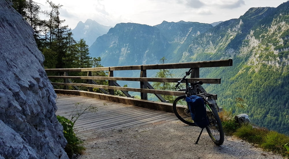
Beginnend an einem Parkplatz am Taubensee zunächst einige hundert Meter bis zur Passhöhe Wachterl. Dort befindet sich auch das gleichnamige Gasthaus. Gegenüber vom Gasthaus beginnt dann der Fahr/-und Gehweg hinauf zur Anthauptenalm. Wenn man mit einem E-Mountainbike Bike unterwegs ist hat man die kommenden 5,5 km und gut 400 Höhenmeter hinauf zur Anthauptenalm relativ schnell hinter sich. Vor einem liegt dann eine schöne Almfläche mit einigen Hütten (im Sommer bewirtschaftet).
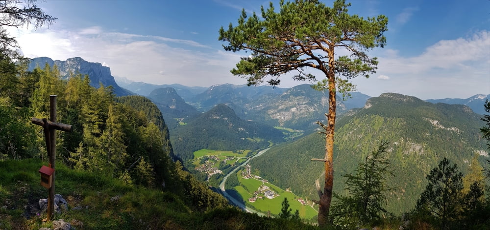
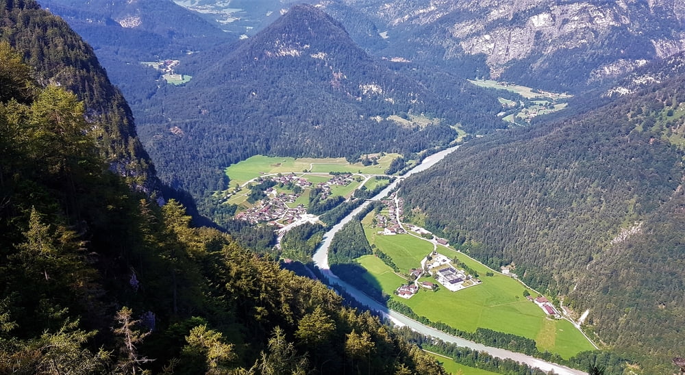
Hier bis zum hintersten Kaser fahren , dort dann das Bike abstellen und unbedingt noch hinauf zum Gipfelkreuz (Vogelspitz) gehen. Nach nur wenigen Minuten ist dieses erreicht. Von dort hat man dann eine sehr schöne Aussicht auf das Saalachtal.
Zurück dann wieder auf gleicher Strecke nur diesmal dann direkt am Taubensee entlang bis zum Parkplatz.
Further information at
https://www.satcom.at/radtouren/Tour gallery
Tour map and elevation profile
Minimum height 886 m
Maximum height 1304 m
More about the tour author
|
|
GarminSalzburg |
Comments

Parkplätze befinden sich in der Nähe des Taubensees oder direkt auf der Passhöhe Wachterl.
GPS tracks
Trackpoints-
GPX / Garmin Map Source (gpx) download
-
TCX / Garmin Training Center® (tcx) download
-
CRS / Garmin Training Center® (crs) download
-
Google Earth (kml) download
-
G7ToWin (g7t) download
-
TTQV (trk) download
-
Overlay (ovl) download
-
Fugawi (txt) download
-
Kompass (DAV) Track (tk) download
-
Track data sheet (pdf) download
-
Original file of the author (gpx) download
More about the tour author
|
|
GarminSalzburg |
Add to my favorites
Remove from my favorites
Edit tags
Open track
My score
Rate