


7. Admont-Wörschachwald
Admont-Huber Eck-Dürrenschöberl-Selzthal-Lassing-
Mitterberg-Döllach-Wörschach-Wörschachwald
Von Admont die Straße Rg Kaiserau. Bald geht es in einen steilen Karrenweg über, ca 30' Schiebung. Dann folgt ein angenehmer Forstweg bis zum Hubereck. Von da weg ca 1h Schiebung aufs Dürrenschöberl.
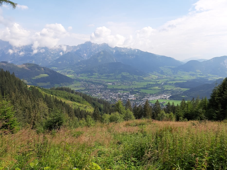
Oben herrlicher Rundumblick ua zum Grimming. Der Abstieg beginnt mit einer kurzen Schiebung, dann kommen ein paar tolle singletrail Passagen. Versierte können sicher den Großteil abfahren, wir haben so einen auch getroffen.
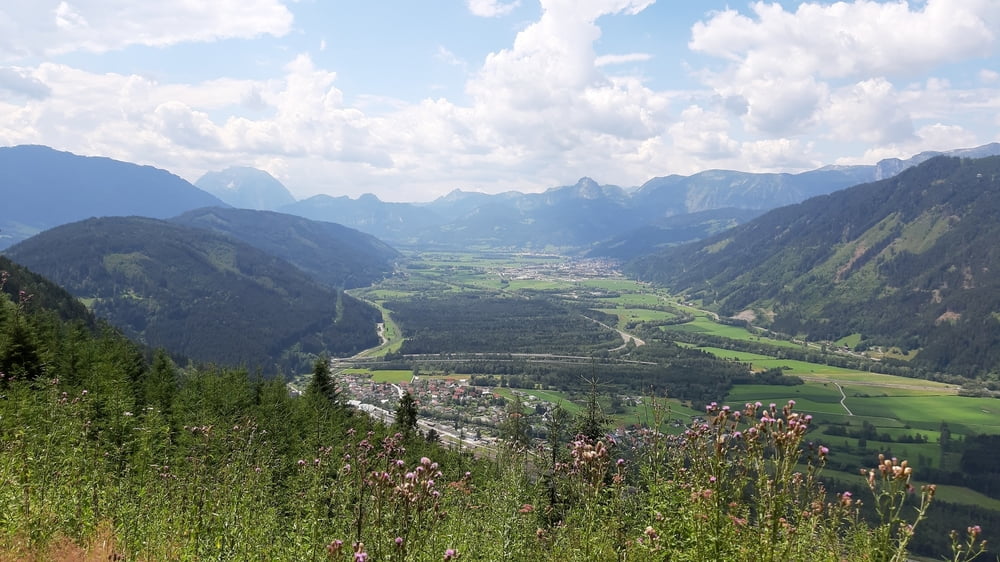
Dann auf guter Forststraßebis ins Tal nach Selzthal. Nach ein paar Straßen km rauf auf den Mitterberg, off. MTB Route. Interessante Strecke ohne nennenswerte technische Herausforderungen.
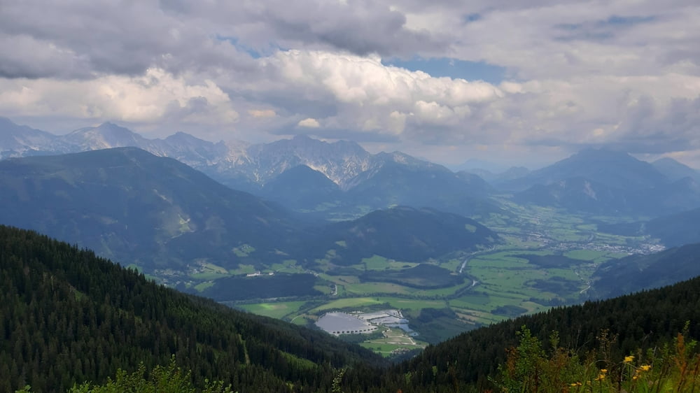
Zum Abschluss des Tages noch auf der "Spechtensse-Runde" = Abschnitt der Dachstein Runde in angenehmer Steigung rauf nach Wörschachwald.
Quartier: Wörschachwalderhof, sehr gut.
Further information at
http://www.woerschachwalderhof.at/Tour gallery
Tour map and elevation profile
Minimum height 644 m
Maximum height 1737 m
More about the tour author
|
|
mitter |
Comments

Start in Admont beim Admonter Hof.
GPS tracks
Trackpoints-
GPX / Garmin Map Source (gpx) download
-
TCX / Garmin Training Center® (tcx) download
-
CRS / Garmin Training Center® (crs) download
-
Google Earth (kml) download
-
G7ToWin (g7t) download
-
TTQV (trk) download
-
Overlay (ovl) download
-
Fugawi (txt) download
-
Kompass (DAV) Track (tk) download
-
Track data sheet (pdf) download
-
Original file of the author (gpx) download
More about the tour author
|
|
mitter |
Add to my favorites
Remove from my favorites
Edit tags
Open track
My score
Rate