


Ausgangspunkt: Große Kripp, 670m (zwischen Opponitz und St. Georgen am Reith)
Aufstieg über einen Wanderpfad bis zum Gipfelkreuz vom Friesling (1.339m).
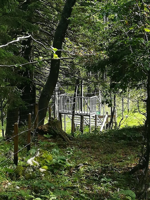
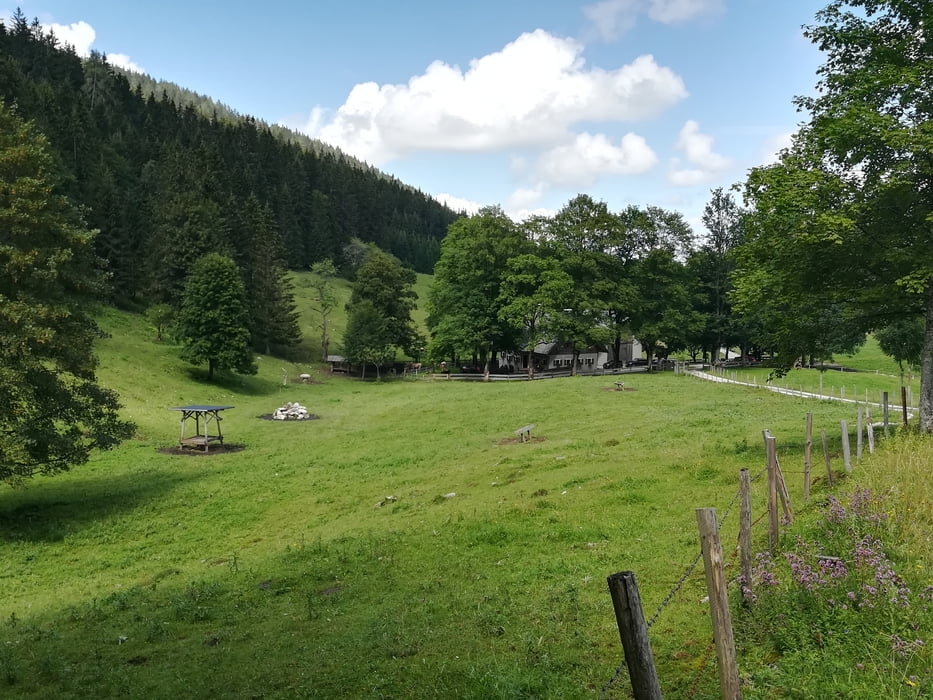
Von dort weiter über einem relativ schlecht markierten Weg/Pfad über das Plateau (dort haben wir eine kleine Abzweigung nach rechts übersehen und sind erst später durchs Gestrüpp abgebogen). Dadurch haben wir aber das alte Gipfelkreuz entdeckt (liegt ein paar Meter höher). Von dort sind wir auf eine Forststraße gelangt, die zu einem Hohen Zaun (2m) führte, wo Gott sei Dank ein Überstieg war (sonst unüberwindbar). Danach folgten wir Großteiles der Forststraße, welche bis zur Friesling Alm führte. Diese liegt nett in einem Kessel und wird von sehr freundlichen Haltern bewirtschaftet.
Wir hatten bei unserem geplanten Ausgangspunkt (nähe Maria Seesal, 557m) ein zweites Auto abgestellt, um sich den Retourweg zu ersparen.
Tour gallery


Tour map and elevation profile
Minimum height 549 m
Maximum height 1327 m
More about the tour author
|
|
schoyswo |
Comments

Landesstraße L98 --> Große Kripp, 670m (zwischen Opponitz und St. Georgen am Reith)
GPS tracks
Trackpoints-
GPX / Garmin Map Source (gpx) download
-
TCX / Garmin Training Center® (tcx) download
-
CRS / Garmin Training Center® (crs) download
-
Google Earth (kml) download
-
G7ToWin (g7t) download
-
TTQV (trk) download
-
Overlay (ovl) download
-
Fugawi (txt) download
-
Kompass (DAV) Track (tk) download
-
Track data sheet (pdf) download
-
Original file of the author (gpx) download
More about the tour author
|
|
schoyswo |
Add to my favorites
Remove from my favorites
Edit tags
Open track
My score
Rate