Login

Forgot your login?

Cookies have to be accepted!
Your browser's cookie functionality is disabled. Please enable this functionality.

Not a member yet?

Register now
Login

Available for registred users only

Log in to use this feature.

Forgot your login?

Cookies have to be accepted!
Your browser's cookie functionality is disabled. Please enable this functionality.

Not a member yet?

Register now
Filter
Categories
Advanced filters
  • Distance (km)
  • Height
Save filters Reset filter

TrackRank

QRCode

Technical data

Distance25,1 km Height738 m Way down734 m Duration01:40 h:m Date21.08.2020
Scores Author Landscape Fun factor Fitness Technique

Statistics

121 Views Scores 13 Downloads Average
Rate
  • Track data sheet
  • Directions
  • Downloads
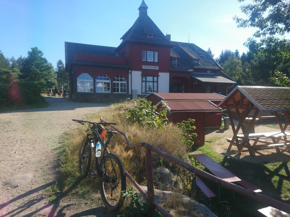
Von O See nach Olbersdorf und dem roten Balken Symbol folgen. Westlich an Oybin anschleichen und die Hölle abfahren. Ringweg bis Aufstieg zum Töpfer. Hier Ausblick genießen und östlich abfahren gelber Balken. Leider 2-3 Schiebe/Tragepassagen sonst ein netter Trail bis Olbersdorf. 

Tour gallery

Tour map and elevation profile

  • Open Street Map
  • Google
Minimum height 278 m Maximum height 612 m Detailed view

More about the tour author

Mulletman
Member since 2020

Send private message

Comments

GPS tracks

Trackpoints
  • GPX / Garmin Map Source (gpx) download
  • TCX / Garmin Training Center® (tcx) download
  • CRS / Garmin Training Center® (crs) download
  • Google Earth (kml) download
  • G7ToWin (g7t) download
  • TTQV (trk) download
  • Overlay (ovl) download
  • Fugawi (txt) download
  • Kompass (DAV) Track (tk) download
  • Track data sheet (pdf) download
  • Original file of the author (gpx) download

More about the tour author

Mulletman
Member since 2020

Send private message
Share track
Add to my favorites
Remove from my favorites
Edit tags
My score
Rate
Track: Trailrunde Oybin
Type: Mountain bike
Distance: 25,1 km
Evaluated on:
Duration:
Day(s)
Hour(s)
Minute(s)
Score: Landscape Fun factor Fitness Technique