


Ich wollt eigentlich bei starkem Westwind den Radweg von Wien nach Hainburg fahren.
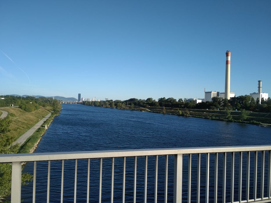
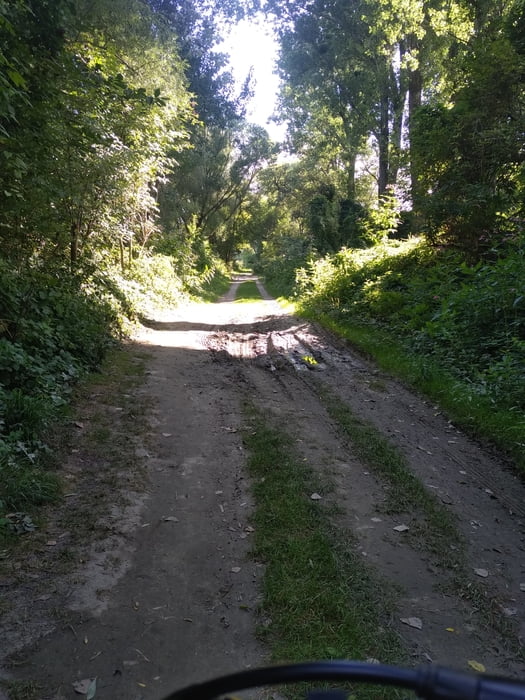
Bei Orth hab ich vor langeweile abgebrochen. Der Weg ist entlang des Donaudammes sehr eintönig.Das Highlight dieser Strecke ist das Überqueren der Donau mittels einer kleinen Fähre in Orth an der Donau (5€ mit Rad). Bis auf kurze Strecken ist auf dem aufgezeichneten Weg alles Asphalt.
Streckenverlauf:
Von Wien Hauptbahnhof auf die Donauinsel.
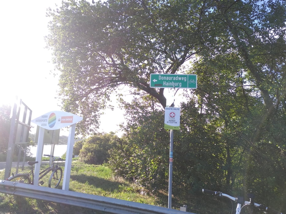
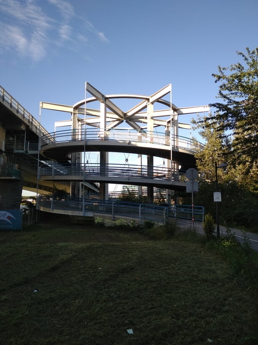
Über die Steinspornbrücke und durch den Ölhafen den Eurovelo 6 nehmen nach Orth an der Donau.
Dort übersetzen und wieder kurz dem Eurovelo 6 folgen um dann über Scharndorf, Höflein, Pachfurth nach Parndorf zu fahren.
Danach dem Radweg nach Neusiedl am See bis nach Weiden folgen. Anschließend nach Gols.
Tour gallery
Tour map and elevation profile
Minimum height 158 m
Maximum height 281 m
More about the tour author
|
|
Jonas6x62 |
Comments

Mit dem Zug zum Hauptbahnhof Wien.
GPS tracks
Trackpoints-
GPX / Garmin Map Source (gpx) download
-
TCX / Garmin Training Center® (tcx) download
-
CRS / Garmin Training Center® (crs) download
-
Google Earth (kml) download
-
G7ToWin (g7t) download
-
TTQV (trk) download
-
Overlay (ovl) download
-
Fugawi (txt) download
-
Kompass (DAV) Track (tk) download
-
Track data sheet (pdf) download
-
Original file of the author (gpx) download
More about the tour author
|
|
Jonas6x62 |
Add to my favorites
Remove from my favorites
Edit tags
Open track
My score
Rate