


- Start/Ziel: Marling
- Von Marling (MH 300) durch Meran. Weiter auf dem Radweg durch das Passeiertal bis St. Leonhard (KM 21,7-MH 655). Auf Asfalt, kaum Verkehr, bis Platt (KM 29-MH 1.125).
- Weiter auf mässig befahrener Landstrasse bis Hütt (KM 33,2-MH 1.460)
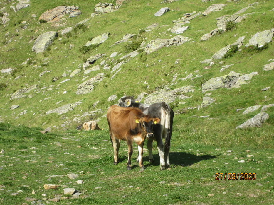
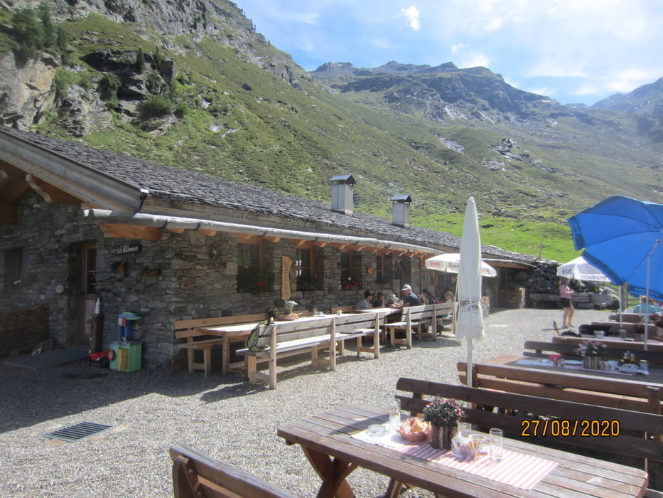
- In Hütt beginnt der mittelsteile Forstweg bis zur Formazon Alm (KM 37,2-MH 1.885)
- Rückfahrt bis Breiteben (KM 47,5-MH 1.068). Auf Asfalt nach Christl (KM 49,4-MH 1.203). Weiter auf Asfalt hinunter nach St. Martin(KM 55,8-MH 625).
- Ab St.Martin auf dem Radweg talauswärts, zurück zum Ausgangspunkt.
PS. Diese Tour wurde mit dem E-Bike gefahren.
Tour gallery


Tour map and elevation profile
Minimum height 288 m
Maximum height 1894 m
More about the tour author
|
|
MargesinFriedrich |
Comments

GPS tracks
Trackpoints-
GPX / Garmin Map Source (gpx) download
-
TCX / Garmin Training Center® (tcx) download
-
CRS / Garmin Training Center® (crs) download
-
Google Earth (kml) download
-
G7ToWin (g7t) download
-
TTQV (trk) download
-
Overlay (ovl) download
-
Fugawi (txt) download
-
Kompass (DAV) Track (tk) download
-
Track data sheet (pdf) download
-
Original file of the author (gpx) download
More about the tour author
|
|
MargesinFriedrich |
Add to my favorites
Remove from my favorites
Edit tags
Open track
My score
Rate