
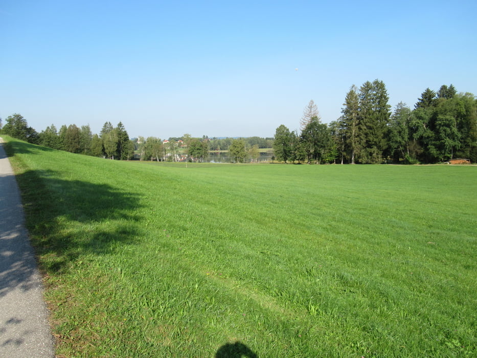

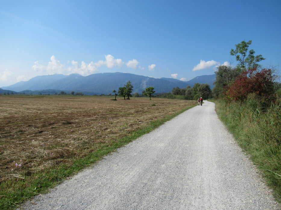
Start ist in Murnau am Parkplatz Nr.1. Zunächst kurz an der Bahn entlang und dann in Richtung Bad Bayersoiern, überwiegend auf Schotterwegen. Von hier aus geht es durch die Voralpine Hügellandschaft auf einsamen Straßen. Ab Uffing wird es belebter und im Murnauer Moos ist dann alles voll. Sind aber nur ein paar Kilometer auf flachen Wegen. Kurz vor Grafenaschau wirds wieder ruhiger und schattiger. Wir waren mit den E-Bikes gemütlich in 3 Stunden unterwegs.
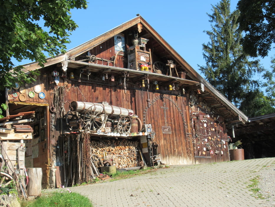
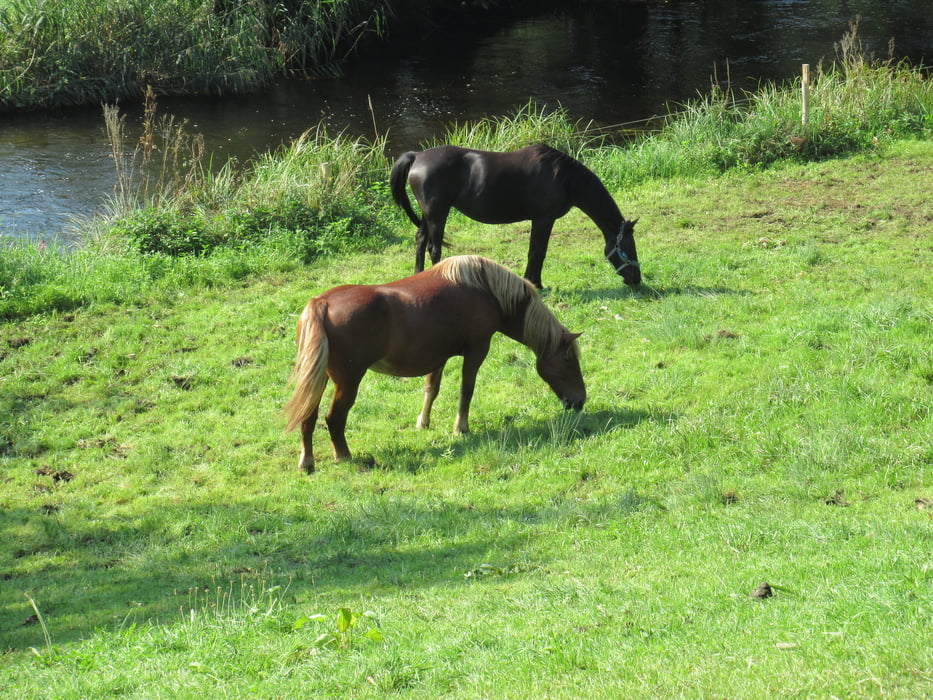
Tour gallery
Tour map and elevation profile
Minimum height 618 m
Maximum height 971 m
More about the tour author
|
|
tazzo |
Comments

In Murnau Ortsmitte zum Parkplatz Nr.1.
GPS tracks
Trackpoints-
GPX / Garmin Map Source (gpx) download
-
TCX / Garmin Training Center® (tcx) download
-
CRS / Garmin Training Center® (crs) download
-
Google Earth (kml) download
-
G7ToWin (g7t) download
-
TTQV (trk) download
-
Overlay (ovl) download
-
Fugawi (txt) download
-
Kompass (DAV) Track (tk) download
-
Track data sheet (pdf) download
-
Original file of the author (gpx) download
More about the tour author
|
|
tazzo |
Add to my favorites
Remove from my favorites
Edit tags
Open track
My score
Rate