Login

Forgot your login?

Cookies have to be accepted!
Your browser's cookie functionality is disabled. Please enable this functionality.

Not a member yet?

Register now
Login

Available for registred users only

Log in to use this feature.

Forgot your login?

Cookies have to be accepted!
Your browser's cookie functionality is disabled. Please enable this functionality.

Not a member yet?

Register now
Filter
Categories
Advanced filters
  • Distance (km)
  • Height
Save filters Reset filter

TrackRank

QRCode

Technical data

Distance50,9 km Height515 m Way down449 m Duration05:00 h:m Date19.09.2020
Scores Author Landscape Fun factor Fitness Technique

Statistics

125 Views Scores 31 Downloads Average
Rate
  • Track data sheet
  • Directions
  • Downloads
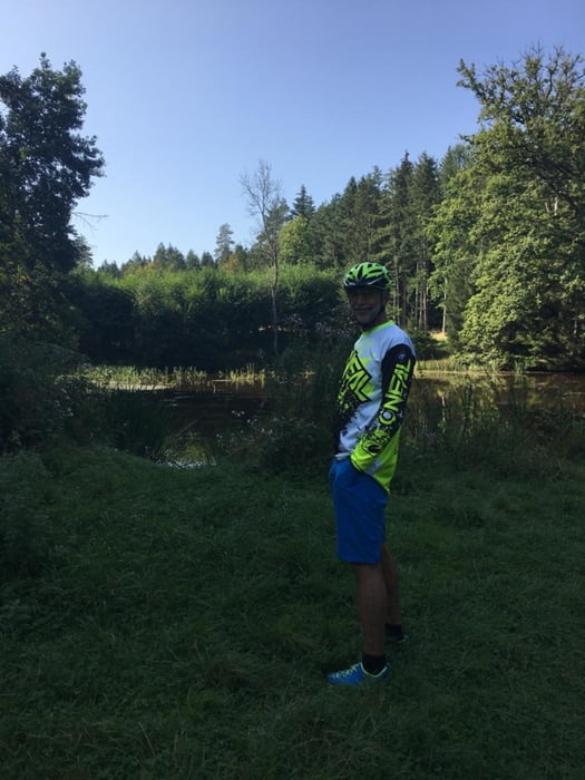
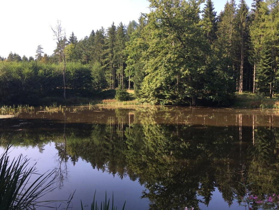
Eine gemütliche Waldtour steht bei den warmen Temperaturen an. Wir beginnen in Bobingen/ Straßberg. Gleich vom Anfang an immer durch die Wälder. Meist gehts auf schnurgeraden Wegen durch einsame Landschaften. Ein bischen hügelig, aber auf die Entfernung nicht besonders antrengend. Wir geniesen den Schatten bis zum Schluss.

Tour gallery

Tour map and elevation profile

  • Open Street Map
  • Google
Minimum height 458 m Maximum height 613 m Detailed view

More about the tour author

tazzo
Member since 2009

Send private message

Comments

Am Ortsende in der Waldstarsse gibt es einen Parkplatz am Waldesrand bei den Flaschencontainer.

GPS tracks

Trackpoints
  • GPX / Garmin Map Source (gpx) download
  • TCX / Garmin Training Center® (tcx) download
  • CRS / Garmin Training Center® (crs) download
  • Google Earth (kml) download
  • G7ToWin (g7t) download
  • TTQV (trk) download
  • Overlay (ovl) download
  • Fugawi (txt) download
  • Kompass (DAV) Track (tk) download
  • Track data sheet (pdf) download
  • Original file of the author (gpx) download

More about the tour author

tazzo
Member since 2009

Send private message
Share track
Add to my favorites
Remove from my favorites
Edit tags
My score
Rate
Track: Wald und Wiesen in den Stauden
Type: Bicycle tours
Distance: 50,9 km
Evaluated on:
Duration:
Day(s)
Hour(s)
Minute(s)
Score: Landscape Fun factor Fitness Technique