


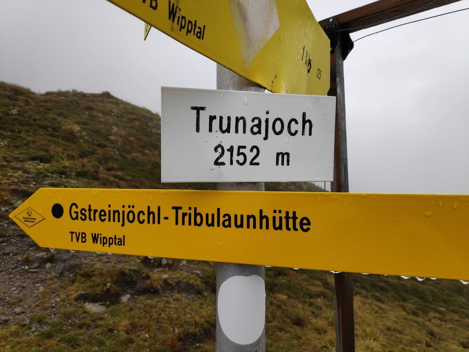
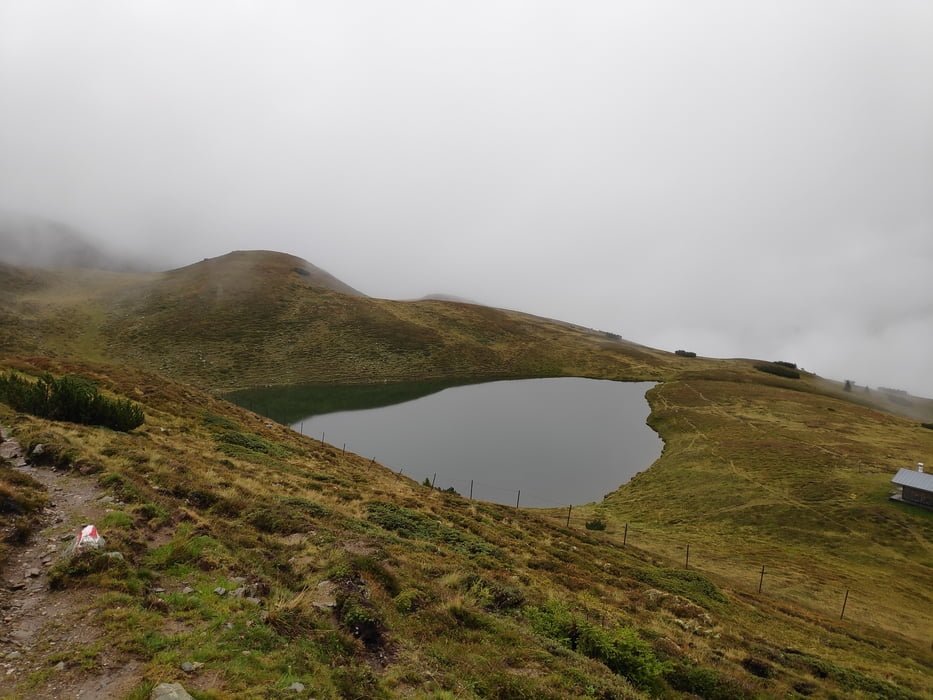
Von Trins über einen steilen Steig hinauf zur Trunahütte. Vorbei an der Trunaalm zum Trunajoch. Eigentlich wollten wir zur Rötenspitze (45 Minuten), aber die Sicht war wetterbedingt gleich null, so dass wir lediglich noch einen Abstecher zum Lichtsee gemacht haben. Auf dem Rückweg haben wir uns in der Gerrichtsherrnalm aufgewärmt und gestärkt. Von dort wieder zurück ins Tal.
Tour gallery
Tour map and elevation profile
Minimum height 1205 m
Maximum height 2149 m
More about the tour author

|
klixx |
Comments

In Trins gibt es mehrere Parkmöglichkeiten.
GPS tracks
Trackpoints-
GPX / Garmin Map Source (gpx) download
-
TCX / Garmin Training Center® (tcx) download
-
CRS / Garmin Training Center® (crs) download
-
Google Earth (kml) download
-
G7ToWin (g7t) download
-
TTQV (trk) download
-
Overlay (ovl) download
-
Fugawi (txt) download
-
Kompass (DAV) Track (tk) download
-
Track data sheet (pdf) download
-
Original file of the author (gpx) download
More about the tour author
|
|
klixx |
Add to my favorites
Remove from my favorites
Edit tags
Open track
My score
Rate