


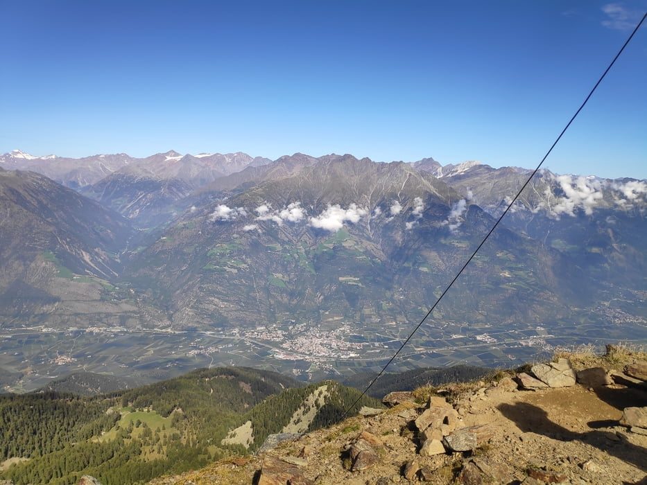
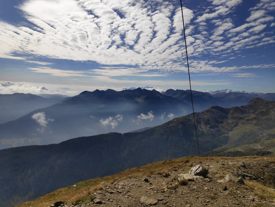
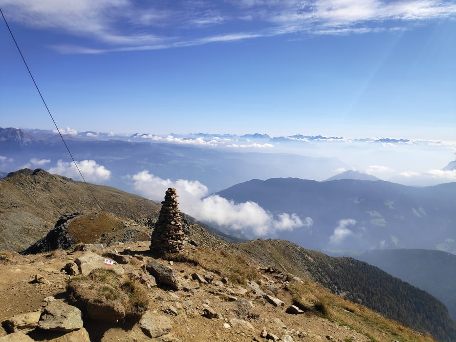
Von Naturns die Nörderbergstraße hinauf zum Parkplatz Kreuzbrünnl (gegen Ende wird aus der Straße eine 3-4km lange Forstpiste). Wir haben uns für den Aufstieg für die steile Variante entschieden: zunächst zur Zetnalm, dann den Steig 5a. Über die Nörderscharte geht es technisch unschwierig zum Hochwart. Der Ausblick ist grandios. Zurück ging es die flachere Variante über die Mauslochalm (wenn der Koch nicht nur einen schlechten Tag hatte, würde ich mir den Kaiserschmarrn schenken -> schlechtester aller Zeiten). Über den Almenweg zurück zur Zetnalm und den bekannten Steig zurück zum Parkplatz.
Tour gallery
Tour map and elevation profile
Minimum height 1580 m
Maximum height 2599 m
More about the tour author

|
klixx |
Comments

Mühsame Auffahrt zum Parkplatz Kreuzbrünnl. Enge Straße, die irgendwann in eine Holperpiste übergeht. Die Tour entschädigt aber für die Anfahrt.
GPS tracks
Trackpoints-
GPX / Garmin Map Source (gpx) download
-
TCX / Garmin Training Center® (tcx) download
-
CRS / Garmin Training Center® (crs) download
-
Google Earth (kml) download
-
G7ToWin (g7t) download
-
TTQV (trk) download
-
Overlay (ovl) download
-
Fugawi (txt) download
-
Kompass (DAV) Track (tk) download
-
Track data sheet (pdf) download
-
Original file of the author (gpx) download
More about the tour author
|
|
klixx |
Add to my favorites
Remove from my favorites
Edit tags
Open track
My score
Rate