


Volksschule Wilhelmsburg Süd - Grubtalstraße - Schmidsiedlung - Windschnur - Heuberg - Kuhberg - Schindeleck (Ri. Dreihöf) - Graßberg - Kapelle in Ri. Nordosten (Wanderweg 04/06 weiter folgen - Anwesen Kuba (ehem. Burgstaller - Bösendörfl - Volksschule Wilhelmsburg Süd
Markierung - noch nicht - vorhanden (magenta/weiß - geplant)
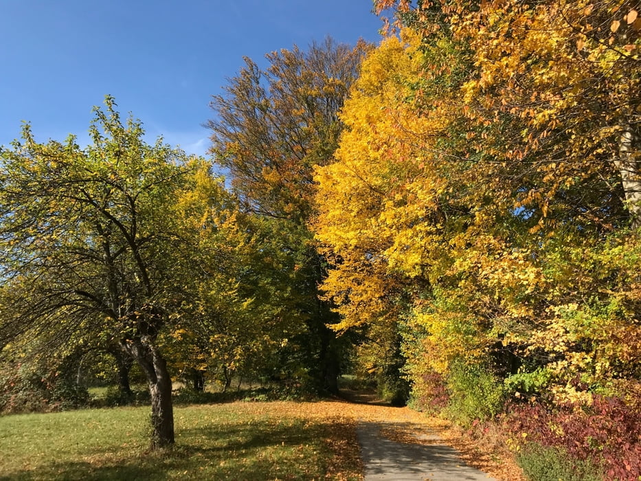
Leichte Wanderung, für Kinder geeignet. Schöne Ausblicke in Ri. St. Pölten und ins Pielachtal.
Tour gallery

Tour map and elevation profile
Minimum height 239 m
Maximum height 535 m
More about the tour author

|
gendarm142005 |
Comments

A1 - Westautobahn - Abfahrt St. Pölten Süd - B20 in Richtung Mariazell - Wilhelmsburg - BILLA Kreuzung - Lilienfelder Straße - Grubtalstraße (Parken in der Kurzenkirchner Straße möglich)
GPS tracks
Trackpoints-
GPX / Garmin Map Source (gpx) download
-
TCX / Garmin Training Center® (tcx) download
-
CRS / Garmin Training Center® (crs) download
-
Google Earth (kml) download
-
G7ToWin (g7t) download
-
TTQV (trk) download
-
Overlay (ovl) download
-
Fugawi (txt) download
-
Kompass (DAV) Track (tk) download
-
Track data sheet (pdf) download
-
Original file of the author (gpx) download
More about the tour author
|
|
gendarm142005 |
Add to my favorites
Remove from my favorites
Edit tags
Open track
My score
Rate