
")

Parken kann man auf einem Parkplatz kurz hinter Ettal Richtung Garmisch. Von da an folgt man den Schildern "Notkarspitze über Ochsensitz".
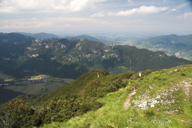
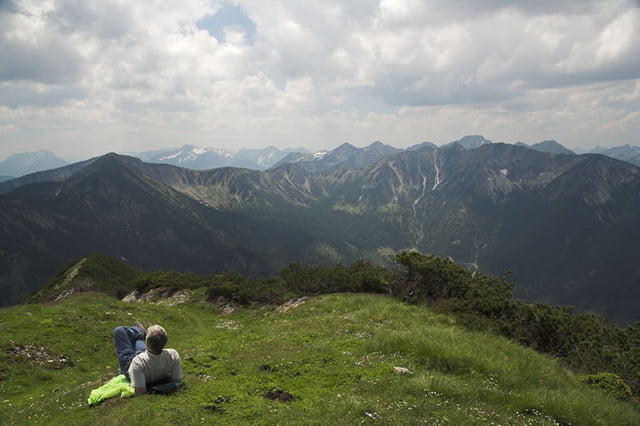
Am Anfang gehts recht steil durch den Wald doch später in offenerem Gelände wandert man am Grat entlang von Gipfel zu Gipfel bis zur Notkarspitze (1889m)
Der Weg runter ist nix für schwache Knie. Teilweise sehr steil und auf allen Vieren am Seil, aber nirgendwo wirklich schwierig aber halt sehr stufig und sehr steil. Haben einige Blasen davongetragen und trotz Wanderstöcke Knieschmerzen.
Vielleicht wäre es klüger die Route gegen den Uhrzeigersinn zu versuchen.
Tour gallery
Tour map and elevation profile
Minimum height 829 m
Maximum height 1881 m
More about the tour author
|
|
dDesign |
Comments

Von Augsburg B17 und dann B23 bis Ettal
Von München A96 bin Landsberg dann B17 und dann B23 bis Ettal
GPS tracks
Trackpoints-
GPX / Garmin Map Source (gpx) download
-
TCX / Garmin Training Center® (tcx) download
-
CRS / Garmin Training Center® (crs) download
-
Google Earth (kml) download
-
G7ToWin (g7t) download
-
TTQV (trk) download
-
Overlay (ovl) download
-
Fugawi (txt) download
-
Kompass (DAV) Track (tk) download
-
Track data sheet (pdf) download
-
Original file of the author (gpx) download
More about the tour author
|
|
dDesign |
Add to my favorites
Remove from my favorites
Edit tags
Open track
My score
Rate