
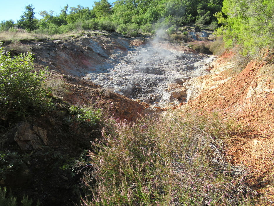

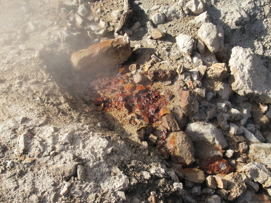
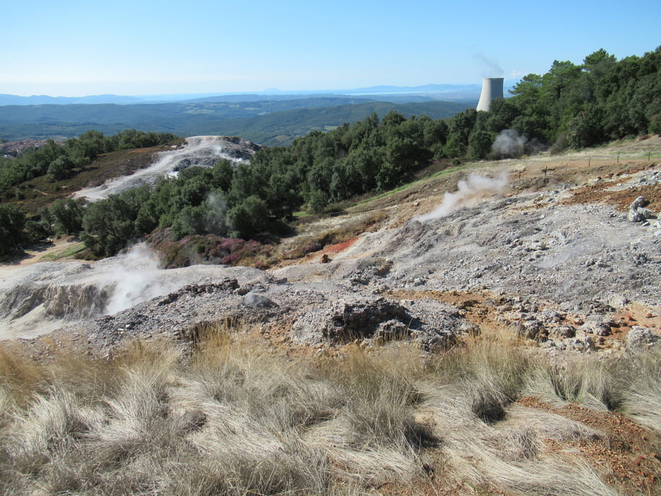
Am Ende der Ortschaft zeigt ein großes Schild links schon den Wanderweg an. Gleich zu Beginn raucht und dampft es aus allen Ecken. Auf der Seite von Lagoni kann man bis ans Meer sehen. Hier sind auch mehr Leute unterwegs, gleich unterhalb gibt es einen großen Parkplatz.
Am End der Tour wurde kurzer Hand der Weg gesperrt, warum auch immer. So mussten wir einen Umweg durch den Wald, wieder nach oben, nehmen. Bei 3 Stunden Gehzeit nicht weiter schlimm.
Tour gallery
Tour map and elevation profile
Minimum height 482 m
Maximum height 648 m
More about the tour author
|
|
tazzo |
Comments

Parkülätze gibt es in der Ortschaft genügend.
GPS tracks
Trackpoints-
GPX / Garmin Map Source (gpx) download
-
TCX / Garmin Training Center® (tcx) download
-
CRS / Garmin Training Center® (crs) download
-
Google Earth (kml) download
-
G7ToWin (g7t) download
-
TTQV (trk) download
-
Overlay (ovl) download
-
Fugawi (txt) download
-
Kompass (DAV) Track (tk) download
-
Track data sheet (pdf) download
-
Original file of the author (gpx) download
More about the tour author
|
|
tazzo |
Add to my favorites
Remove from my favorites
Edit tags
Open track
My score
Rate