


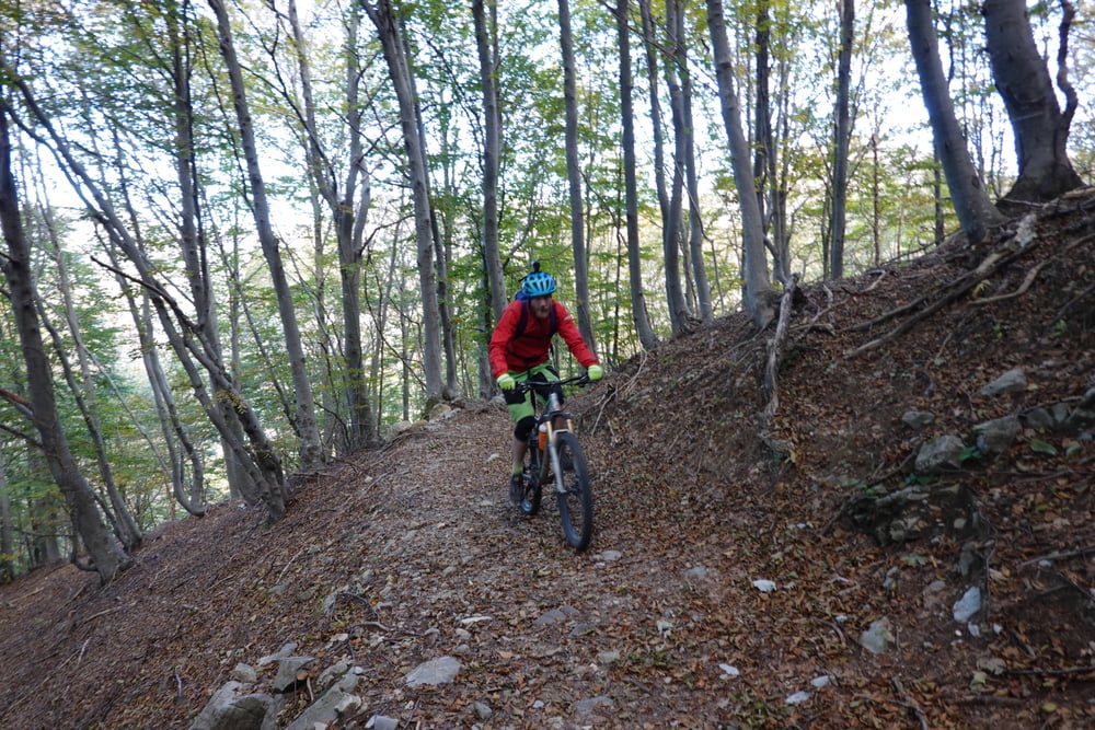
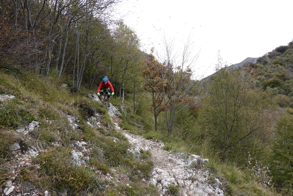
Von der Uferstraße angenehm über zahlreiche Kehren nach Esino und weiter bis zum ersten Skilift bei Cainallo. Bei uns hatten die Hütten bereits zu, im Sommer bestimmt ein guter Platz für eine Pause vor einer Hütte. Nun beginnt die lange Querung mit etwa Auf und Ab. An einer Stelle muss das Rad ein paar Minuten geschoben werden. Wenn man die Bergflanke aus etaws Entfernung ansieht, ist es kaum zu glauben, wie einfach die Querung möglich ist. Die 1.000 hm Trailabfahrt beginnen flowig, es kommen jedoch noch verblockte Bereiche (S3). Letztendlich spuckt es uns direkt an der Küstenstraße wieder aus.
Tour gallery

Tour map and elevation profile
Minimum height 204 m
Maximum height 1264 m
More about the tour author

|
Klaus112 |
Comments

Entlang der Küstenstraße bis südlich der Ortschaft Varenna. Dort befinden sich kostenfreie Parkplätze. Zur Hauptsaison muss ggf. auf den Parkplatz am Bahnhof zurück gegriffen werden.
GPS tracks
Trackpoints-
GPX / Garmin Map Source (gpx) download
-
TCX / Garmin Training Center® (tcx) download
-
CRS / Garmin Training Center® (crs) download
-
Google Earth (kml) download
-
G7ToWin (g7t) download
-
TTQV (trk) download
-
Overlay (ovl) download
-
Fugawi (txt) download
-
Kompass (DAV) Track (tk) download
-
Track data sheet (pdf) download
-
Original file of the author (gpx) download
More about the tour author
|
|
Klaus112 |
Add to my favorites
Remove from my favorites
Edit tags
Open track
My score
Rate