Login

Forgotten password?

Cookies have to be accepted!
Your browser's cookie functionality is disabled. Please enable this functionality.

Not a member yet?

Register now
Login

Available for registred users only

Log in to use this feature.

Forgotten password?

Cookies have to be accepted!
Your browser's cookie functionality is disabled. Please enable this functionality.

Not a member yet?

Register now
Filter
Categories
Advanced filters
  • Distance (km)
  • Height
Save filters Reset filter

TrackRank

QRCode

Technical data

Distance15,2 km Height422 m Way down424 m Duration06:29 h:m Date21.10.2020
Scores Author Landscape Fun factor Fitness Technique

Statistics

106 Views Scores 2 Downloads Average
Rate
  • Track data sheet
  • Directions
  • Downloads
Fotografovanie

Further information at

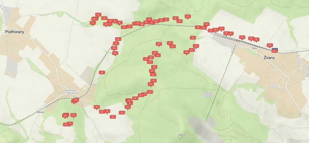
https://photos.app.goo.gl/P6pkGFPzQTmePRxz5

Tour map and elevation profile

  • Open Street Map
  • Google
Minimum height 170 m Maximum height 395 m Detailed view

More about the tour author

MatejPetruf
Member since 2018

Send private message

Comments

vsetko v pohode

GPS tracks

Trackpoints
  • GPX / Garmin Map Source (gpx) download
  • TCX / Garmin Training Center® (tcx) download
  • CRS / Garmin Training Center® (crs) download
  • Google Earth (kml) download
  • G7ToWin (g7t) download
  • TTQV (trk) download
  • Overlay (ovl) download
  • Fugawi (txt) download
  • Kompass (DAV) Track (tk) download
  • Track data sheet (pdf) download
  • Original file of the author (gpx) download

More about the tour author

MatejPetruf
Member since 2018

Send private message
Share track
Add to my favorites
Remove from my favorites
Edit tags
My score
Rate
Track: 35/2020.Hunták-Hôrka-Vreteno
Type: Mountain hiking
Distance: 15,2 km
Evaluated on:
Duration:
Day(s)
Hour(s)
Minute(s)
Score: Landscape Fun factor Fitness Technique