

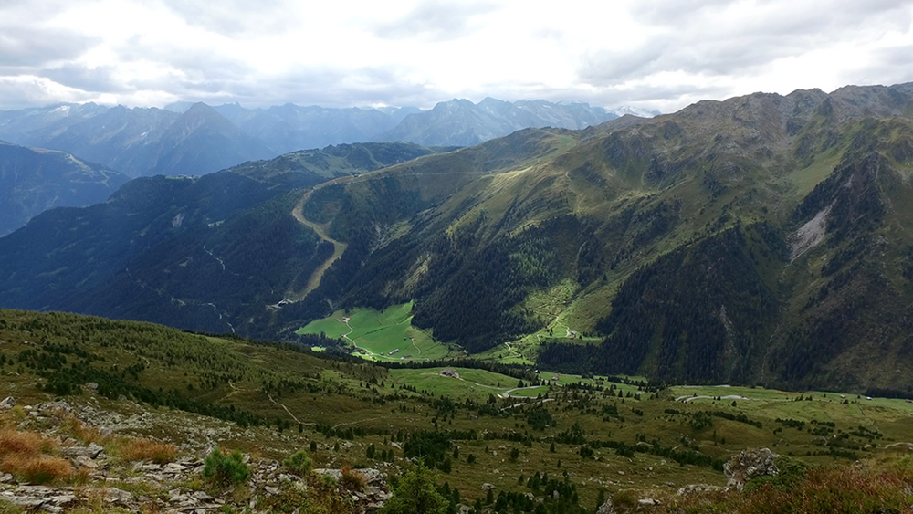
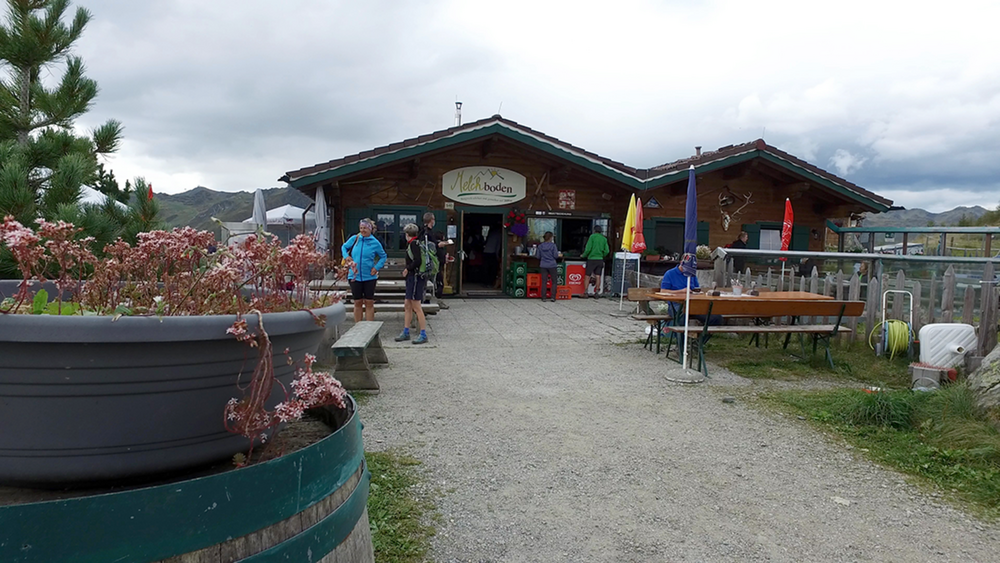
Die Anfahrt zu unserem Wanderparkplatz Schwendberg – Melchboden, verläuft zunächst im Tal Grund des Zillertals bis nach Hippach. Über eine Serpentinenstraße geht es hoch hinauf auf die Mautpflichtige Zillertaler Höhenstraße. Unterwegs entrichten wir an der Mautstelle einen Obolus von 8€ und fahren weiter. An dem Wanderparkplatz Schwendberg Melchboden stellen wir das Auto ab. Auf 1870 m beginnt unsere Wanderung.
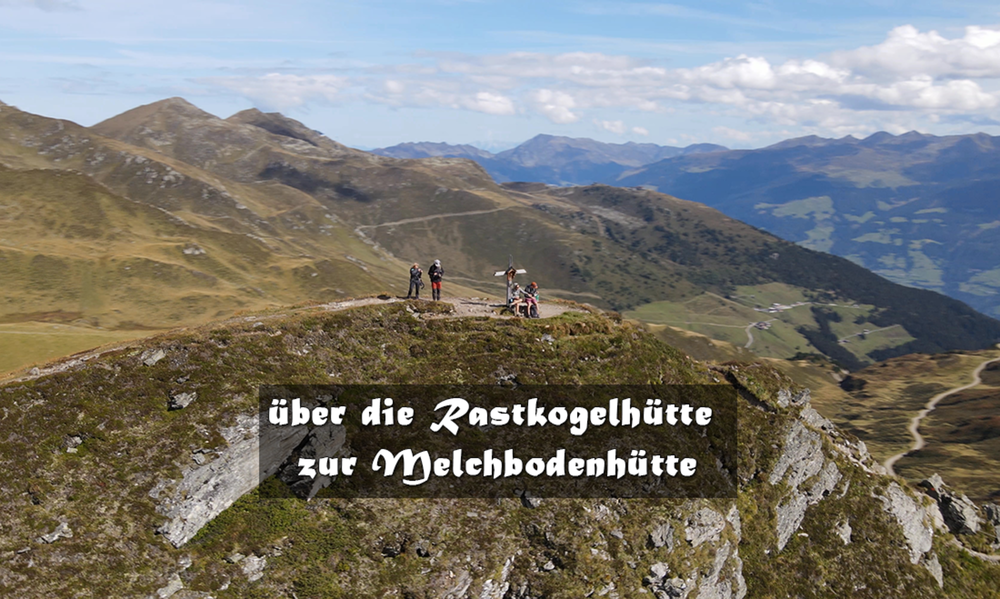
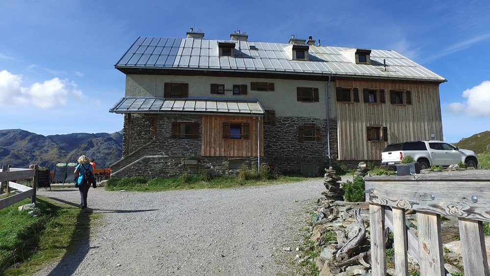
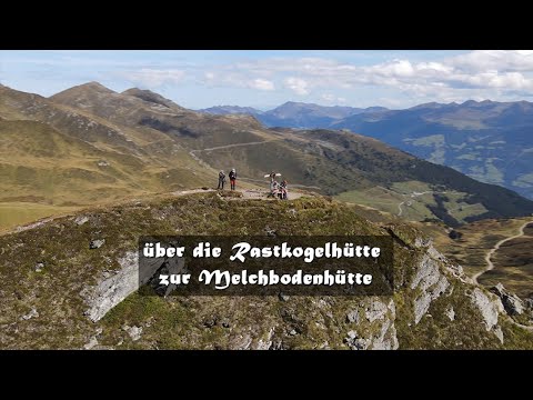
Unser erstes Ziel ist die Rastkogelhütte, von dort über das Kreuzjoch zum, Mitterwandskopf, Rauhenkopf und der letzte Gipfel ist der Arbiskopf bis es dann am Melchboden vorbei zum Ausgangspunkt geht. Das Höhenprofil zeigt zunächst einen leichten Anstieg der im Verlauf immer steiler wird.
Tour gallery
Tour map and elevation profile
Minimum height 1717 m
Maximum height 2384 m
More about the tour author
|
|
schleidy |
Comments

GPS tracks
Trackpoints-
GPX / Garmin Map Source (gpx) download
-
TCX / Garmin Training Center® (tcx) download
-
CRS / Garmin Training Center® (crs) download
-
Google Earth (kml) download
-
G7ToWin (g7t) download
-
TTQV (trk) download
-
Overlay (ovl) download
-
Fugawi (txt) download
-
Kompass (DAV) Track (tk) download
-
Track data sheet (pdf) download
-
Original file of the author (gpx) download
More about the tour author
|
|
schleidy |
Add to my favorites
Remove from my favorites
Edit tags
Open track
My score
Rate