


Grenoble is surrounded by three mountain ranges: Chartreuse, Vercors and Belledonnes. During this trip we visited Vercors.
We set off from the city and started the climb in Sassenage. Soon we reached Parc Naturel Regional de Vercors with beautiful landscape, unique rock forms and narrow passages.
At the skiing center Lans-en-Vercors don't forget to visit patisserie at the roundabout.
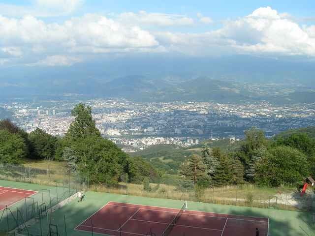
Some more climb gets you to the rock called Les Trois Pucelles (see the photo) and you can enjoy the view of Grenoble during the descent.
We set off from the city and started the climb in Sassenage. Soon we reached Parc Naturel Regional de Vercors with beautiful landscape, unique rock forms and narrow passages.
At the skiing center Lans-en-Vercors don't forget to visit patisserie at the roundabout.
Some more climb gets you to the rock called Les Trois Pucelles (see the photo) and you can enjoy the view of Grenoble during the descent.
Tour gallery
Tour map and elevation profile
Minimum height 214 m
Maximum height 1174 m
More about the tour author

|
azzie |
Comments

In fact you can start anywhere in Greoble ;-) You start the climb in Sassenage.
If you choose to follow the route in the opposite direction, you can expect more demanding, but shorter climb, and a very long descent.
If you choose to follow the route in the opposite direction, you can expect more demanding, but shorter climb, and a very long descent.
GPS tracks
Trackpoints-
GPX / Garmin Map Source (gpx) download
-
TCX / Garmin Training Center® (tcx) download
-
CRS / Garmin Training Center® (crs) download
-
Google Earth (kml) download
-
G7ToWin (g7t) download
-
TTQV (trk) download
-
Overlay (ovl) download
-
Fugawi (txt) download
-
Kompass (DAV) Track (tk) download
-
Track data sheet (pdf) download
-
Original file of the author (gpx) download
More about the tour author
|
|
azzie |
Add to my favorites
Remove from my favorites
Edit tags
Open track
My score
Rate