Login

Forgot your login?

Cookies have to be accepted!
Your browser's cookie functionality is disabled. Please enable this functionality.

Not a member yet?

Register now
Login

Available for registred users only

Log in to use this feature.

Forgot your login?

Cookies have to be accepted!
Your browser's cookie functionality is disabled. Please enable this functionality.

Not a member yet?

Register now
Filter
Categories
Advanced filters
  • Distance (km)
  • Height
Save filters Reset filter

TrackRank

QRCode

Technical data

Distance28,4 km Height1183 m Way down1201 m Duration04:10 h:m Date28.11.2020
Scores Author User Landscape Fun factor Fitness Technique

Statistics

274 Views 1 Score 52 Downloads 3.00 Average
Rate
  • Track data sheet
  • Directions
  • Downloads
  • Tour im Uhrzeigersinn.
  • Start/Ziel: Marling, Marlingerbrücke.
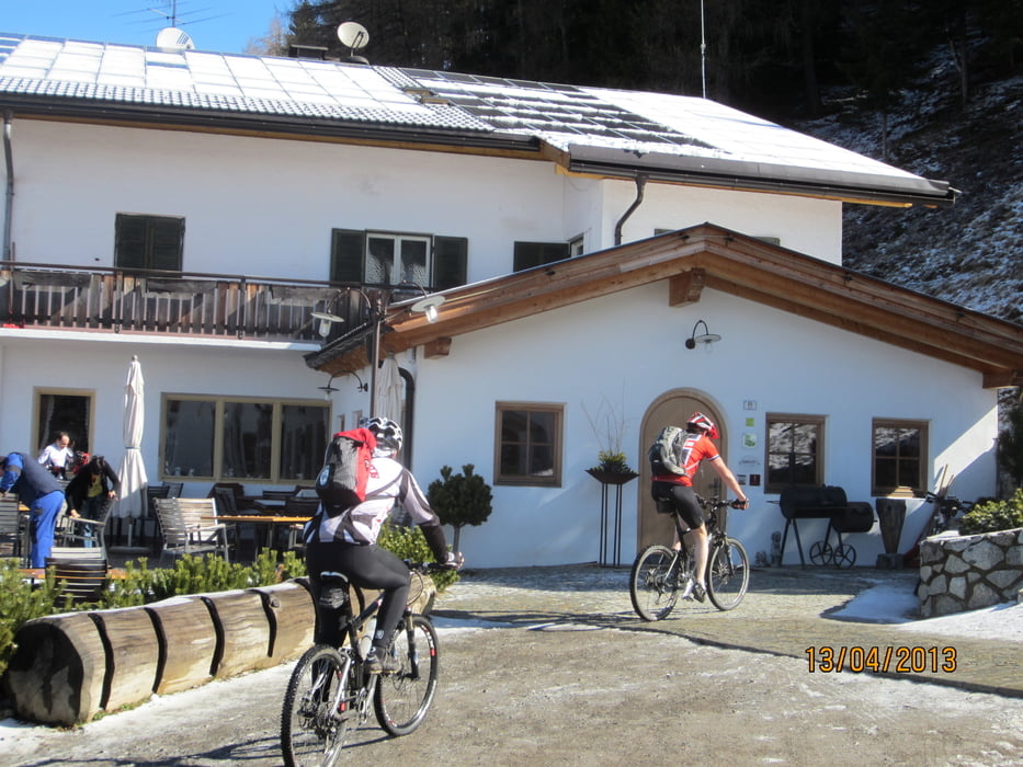
  • Auf Rad-, Nebenwegen durch Meran nach Schenna. Wieter auf kaum befahrener Asfaltstrasse zum Gasthof Taser (höchster Punkt).
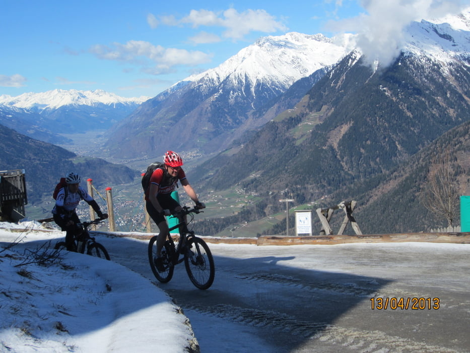
  • Abfahrt auf flowigen Fusswegen und teils holprigen Karrenwegen ins Naiftal.
  • Einige wenige, kurze Abschnitte sind etwas kniffelig. Evtl. schieben.
  • S0-S2. Sehr kurze Abschnitte S3.
  • Unser Dank an Kari für die schöne Tour.

Tour gallery

Tour map and elevation profile

  • Open Street Map
  • Google
Minimum height 288 m Maximum height 1466 m Detailed view

More about the tour author

MargesinFriedrich
Member since 2012

Send private message

Comments

GPS tracks

Trackpoints
  • GPX / Garmin Map Source (gpx) download
  • TCX / Garmin Training Center® (tcx) download
  • CRS / Garmin Training Center® (crs) download
  • Google Earth (kml) download
  • G7ToWin (g7t) download
  • TTQV (trk) download
  • Overlay (ovl) download
  • Fugawi (txt) download
  • Kompass (DAV) Track (tk) download
  • Track data sheet (pdf) download
  • Original file of the author (gpx) download

More about the tour author

MargesinFriedrich
Member since 2012

Send private message
Share track
Add to my favorites
Remove from my favorites
Edit tags
My score
Rate
Track: Gasthof Taser(Schenna).Kari-Trail ins Naiftal.
Type: Mountain bike
Distance: 28,4 km
Evaluated on:
Duration:
Day(s)
Hour(s)
Minute(s)
Score: Landscape Fun factor Fitness Technique