


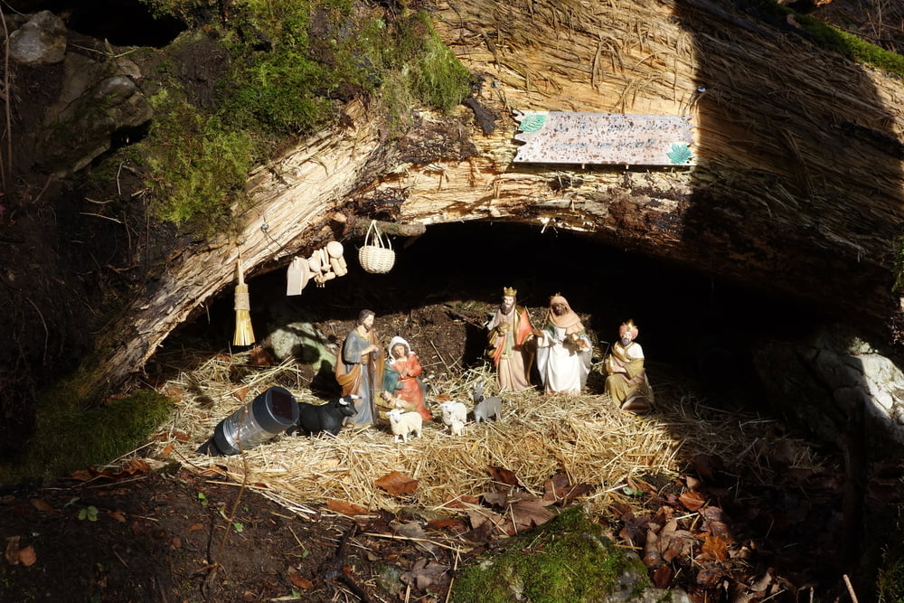
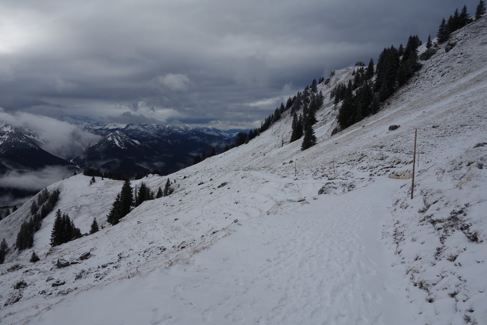
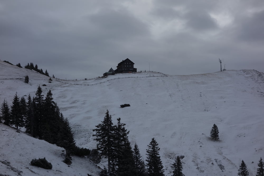
Auch zu Corona-Zeiten kann man an Weihnachten auf die Rotwand gehen. Wie immer haben wir Brotzeit auf der Terasse vom Rotwandhaus gemacht. Wir haben dankbar die Bank genutzt. Kalt und zugig aber trotdem toll. Schönes Lichtspiel bei dem eher schlechten Wetter. Oben hat es 5cm Schnee. So kommt Winterfeeling auf.
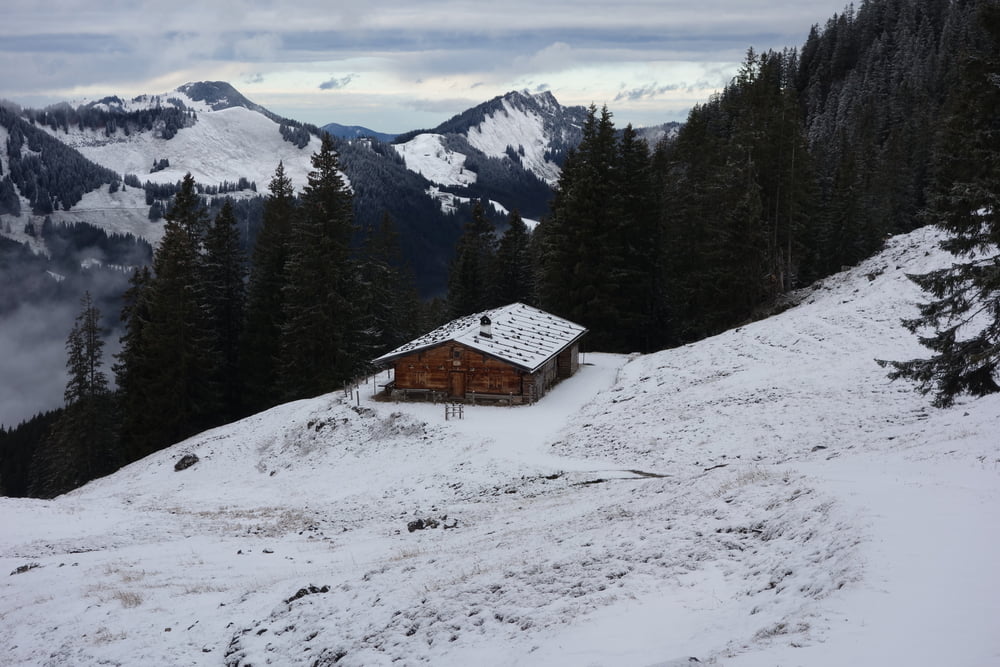
Zu gehen ist der Weg einfach, da es immer auf dem Fahrweg zum Rotwandhaus entlang geht.
Further information at
http://www.rotwandhaus.de/rotwandhaus/startseite/Tour gallery
Tour map and elevation profile
Minimum height 1063 m
Maximum height 1739 m
More about the tour author

|
smartandem |
Comments

anfahrt ber die A8 bis Wayern. Weiter über Miesbach nach Schliesee und Neuhaus. Dann rechts ab zum Spietzingsee. Dort kann man in der Nähe der Kirche parken. Kostet 5 Euro Wir standen diesmal um die Ecke bei einem Caffee. Hatte wegen Corona geschlossen und kostet nix. Normalerweise ist da nix frei.
GPS tracks
Trackpoints-
GPX / Garmin Map Source (gpx) download
-
TCX / Garmin Training Center® (tcx) download
-
CRS / Garmin Training Center® (crs) download
-
Google Earth (kml) download
-
G7ToWin (g7t) download
-
TTQV (trk) download
-
Overlay (ovl) download
-
Fugawi (txt) download
-
Kompass (DAV) Track (tk) download
-
Track data sheet (pdf) download
-
Original file of the author (gpx) download
More about the tour author
|
|
smartandem |
Add to my favorites
Remove from my favorites
Edit tags
Open track
My score
Rate