Login

Forgot your login?

Cookies have to be accepted!
Your browser's cookie functionality is disabled. Please enable this functionality.

Not a member yet?

Register now
Login

Available for registred users only

Log in to use this feature.

Forgot your login?

Cookies have to be accepted!
Your browser's cookie functionality is disabled. Please enable this functionality.

Not a member yet?

Register now
Filter
Categories
Advanced filters
  • Distance (km)
  • Height
Save filters Reset filter

TrackRank

QRCode

Technical data

Distance9,9 km Height301 m Way down292 m Duration04:30 h:m Date05.11.2020
Scores Author Landscape Fun factor Fitness Technique

Statistics

116 Views Scores 13 Downloads Average
Rate
  • Track data sheet
  • Directions
  • Downloads
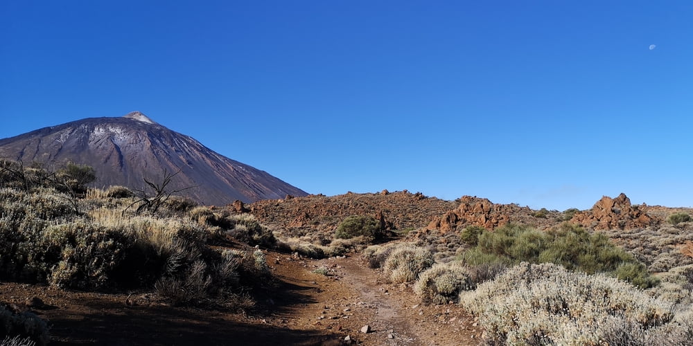
Eine nicht sehr anstrengende Wanderung. Ideal zum Eingewöhnen. Die Wanderung startet direkt beim Besucherzentrum. Der Eintritt ist kostenlos. Parkplätze sind da vorhanden. Falls die Sonne scheinen sollte nicht vergessen dass es keinen Schatten gibt. Der Weg ist leicht zu finden.

Tour gallery

Tour map and elevation profile

  • Open Street Map
  • Google
Minimum height 2084 m Maximum height 2215 m Detailed view

More about the tour author

JoachimDief
Member since 2016

Send private message

Comments

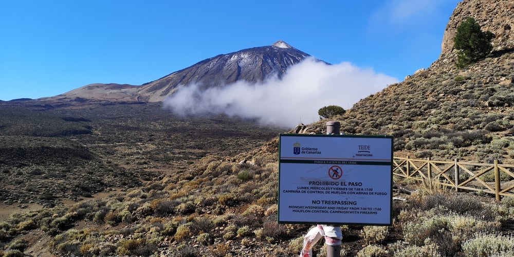
Centro de Visitantes (Nationalpark Besucherzentrum) in El Portillo

Carretera TF-21, Kilometerpunkt 32,1

https://www.webtenerife.de/besucherattraktionen/teide-nationalpark/centro+de+visitantes+el+portillo.htm


GPS tracks

Trackpoints
  • GPX / Garmin Map Source (gpx) download
  • TCX / Garmin Training Center® (tcx) download
  • CRS / Garmin Training Center® (crs) download
  • Google Earth (kml) download
  • G7ToWin (g7t) download
  • TTQV (trk) download
  • Overlay (ovl) download
  • Fugawi (txt) download
  • Kompass (DAV) Track (tk) download
  • Track data sheet (pdf) download
  • Original file of the author (gpx) download

More about the tour author

JoachimDief
Member since 2016

Send private message
Share track
Add to my favorites
Remove from my favorites
Edit tags
My score
Rate
Track: Forteleza
Type: Hiking
Distance: 9,9 km
Evaluated on:
Duration:
Day(s)
Hour(s)
Minute(s)
Score: Landscape Fun factor Fitness Technique