


Eine Runde durchs Teno Gebirge
von Puerto Santiago die Hauptstrraße hinauf nach Santiago del Teide und weiter nach Norden, die zunächst Hauptstraße vermeidend zur TF-82. Am Pass abzweigen zum Sender Cruz de Gala.
ein kleines stück zurück und auf kleinem Trail hinab zur bei Wanderern beliebten Pista Monte del Agua. Auf ihr weiter nach NW und schließlich hinab nach El Palmar. Von dort geht es auf einer Teerstraße weiter hinauf nach Teno alto. Beim Restaurant In Teno Alto links hinauf nach Las Siete und vor dem See links hinauf auf Wanderweg abbigen. Hier zunächst schiebend hinauf und dann immer dem Gratweg fogend, teils fahrend teils schiebned bis man di Teerstraße TF-436 erreicht. Auf der TF-436 hinauf und hinab zum Eingang der Masca-Schlucht. Danach wieder weit hinauf zum Pass bei Casas de Araza. Hinab nach Santiago del Teide und in einer rauschenden Abfahrt auf der TF-82 zurück nach Puerto Santiago.
siehe auch Trackvideo:https://ayvri.com/scene/pmke417w5x/ckh9kew2c0001286iy97yr70w
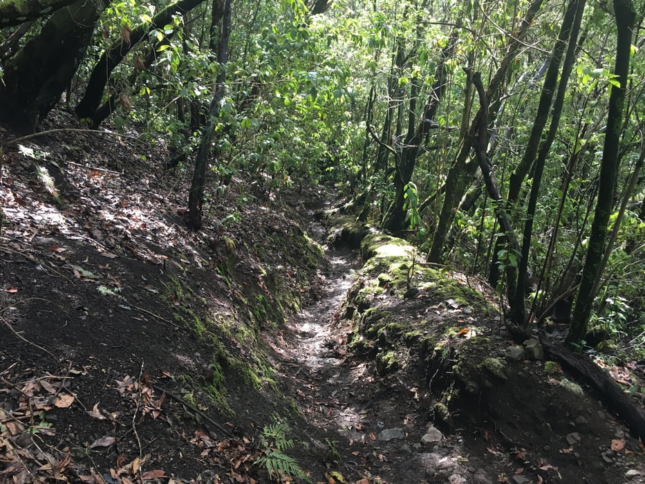
Tour gallery


Tour map and elevation profile
Minimum height 115 m
Maximum height 1414 m
More about the tour author

|
Gi |
Comments

GPS tracks
Trackpoints-
GPX / Garmin Map Source (gpx) download
-
TCX / Garmin Training Center® (tcx) download
-
CRS / Garmin Training Center® (crs) download
-
Google Earth (kml) download
-
G7ToWin (g7t) download
-
TTQV (trk) download
-
Overlay (ovl) download
-
Fugawi (txt) download
-
Kompass (DAV) Track (tk) download
-
Track data sheet (pdf) download
-
Original file of the author (gpx) download
More about the tour author
|
|
Gi |
Add to my favorites
Remove from my favorites
Edit tags
Open track
My score
Rate