


Von Puerto Santiago unter Vermeidung der großen Straßen der Küste entlang über Loas Cristianos nach Medano
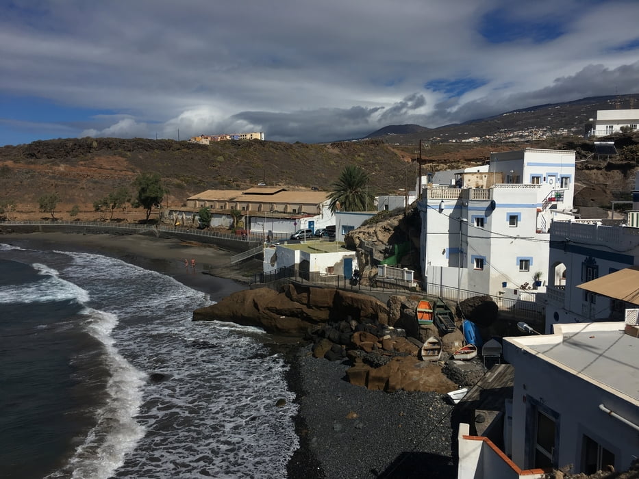
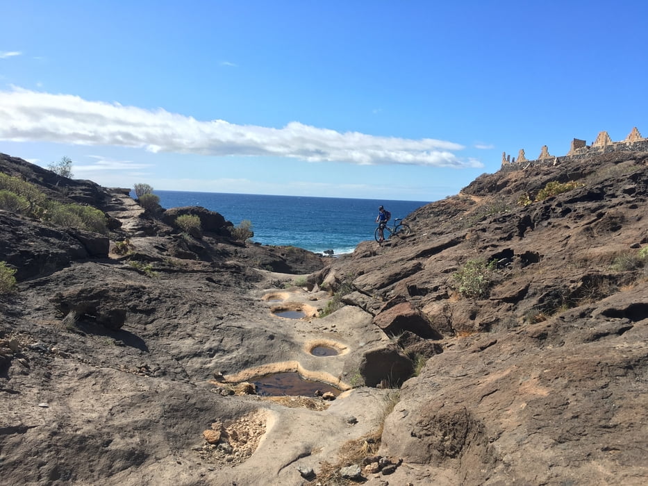
Zunächst der Küste entlang, dann hinter Playa San Juan teils schiebend hinauf zur Hauptstraße TF-47 und auf ihr 5 km weiter bis man wieder dem Ufer folgen kann. Teils auf trails, teils auf Straßen zur schönen Badebucht El Puertito. Über trails weiter oberhalb einer einsamen Badebucht entlang nach Los Christianos. Hier wieder ein Stück bergauf schieben und über Feldwege weiter zur TF-653. ein kurzes Straßenstück und dann über Feldwege wieder an die Küste.
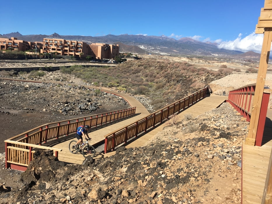
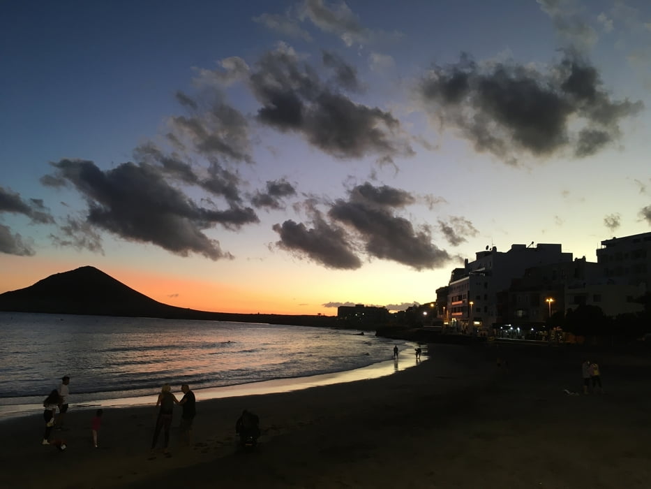
Von der Küste machten wir einen kurzen Abstecher zum Flughafen und dann weiter an den Strand bei Montana Roja und nach el Medano.
siehe auch Trackvideo: https://ayvri.com/scene/pmke417w5x/ckh9kg50u0001286iist1rrh9
Tour gallery
Tour map and elevation profile
Minimum height -94 m
Maximum height 197 m
More about the tour author

|
Gi |
Comments

GPS tracks
Trackpoints-
GPX / Garmin Map Source (gpx) download
-
TCX / Garmin Training Center® (tcx) download
-
CRS / Garmin Training Center® (crs) download
-
Google Earth (kml) download
-
G7ToWin (g7t) download
-
TTQV (trk) download
-
Overlay (ovl) download
-
Fugawi (txt) download
-
Kompass (DAV) Track (tk) download
-
Track data sheet (pdf) download
-
Original file of the author (gpx) download
More about the tour author
|
|
Gi |
Add to my favorites
Remove from my favorites
Edit tags
Open track
My score
Rate