
 =>Hubland!")

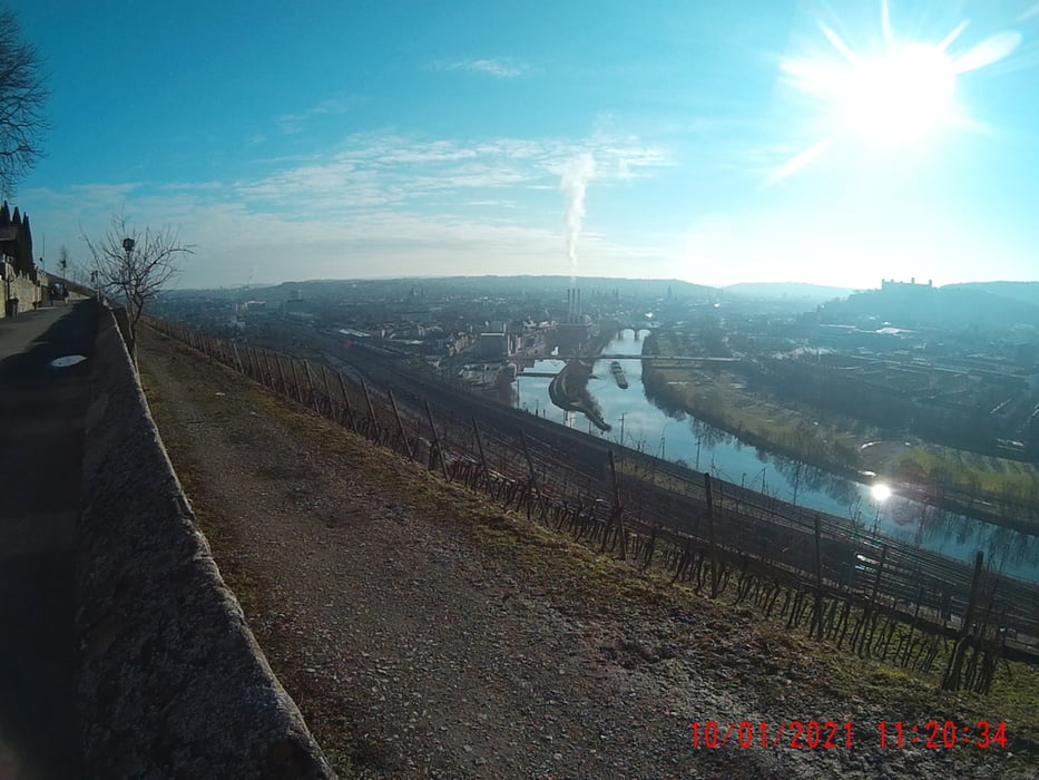
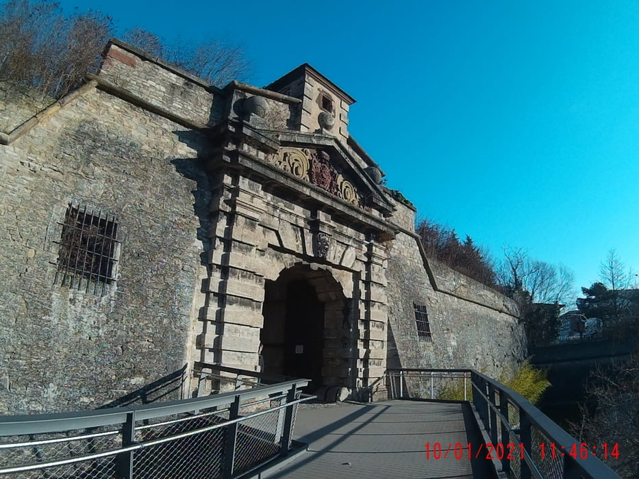
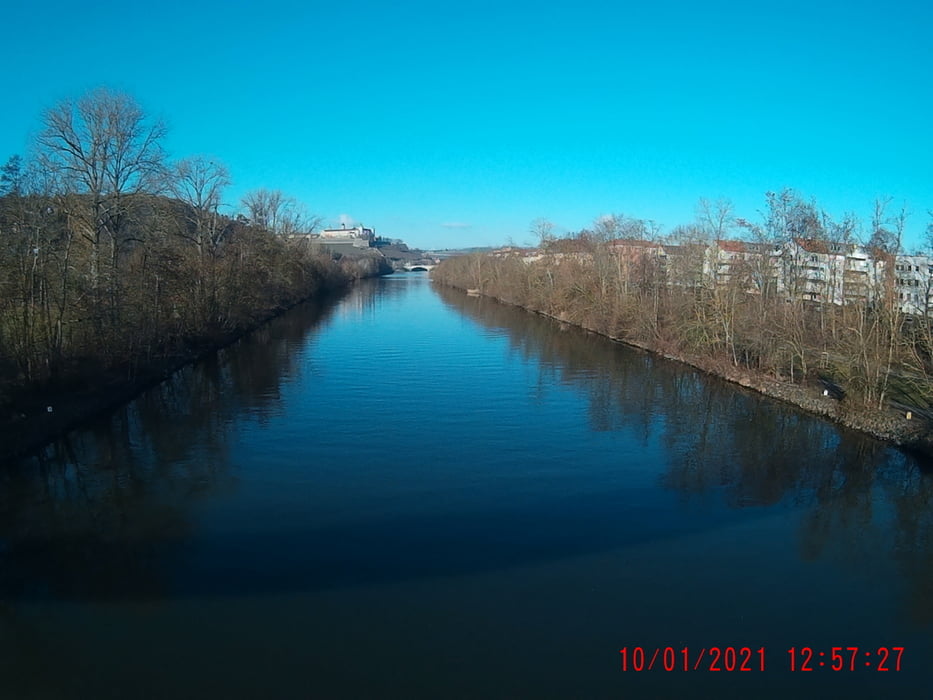
Start, in Gerbrunn, am Casteller in Gerbrunn. Über die Skyline(Hubland) hinunter in die Aumühle. Weiter nach Versbach => hoch zur Steinburg => runter, zur Talavera => hoch zum Festungsberg => runter, in die Leistenstrasse => hoch, zum "Gutshof, zur neuen Welt" => über die Treppen, "Kniebreche", "Leutfresserweg" hoch zur "Frankenwarte"!!! Richtung Höchberg, über die "Annaschlucht" ins "Steinbachtal"! Dann ist es nur noch ein Katzensprung, über den Steg, in die Sanderau => hoch ins Frauenland und schon sind wir wieder in Gerbrunn! ;-)
Tour gallery

Tour map and elevation profile
Minimum height 94 m
Maximum height 409 m
More about the tour author
|
|
Perikles |
Comments

Wir erreichen Würzburgm mit dem Auto über die A3 oder A7.
Gerbrunn liegt im Osten, von Würzburg!Oder mit der Bahn.
Von Würzburg nach Gerbrunn ist es sehreinfach mit der Buslinie 14 zu gelangen! ;-
GPS tracks
Trackpoints-
GPX / Garmin Map Source (gpx) download
-
TCX / Garmin Training Center® (tcx) download
-
CRS / Garmin Training Center® (crs) download
-
Google Earth (kml) download
-
G7ToWin (g7t) download
-
TTQV (trk) download
-
Overlay (ovl) download
-
Fugawi (txt) download
-
Kompass (DAV) Track (tk) download
-
Track data sheet (pdf) download
-
Original file of the author (gpx) download
More about the tour author
|
|
Perikles |
Add to my favorites
Remove from my favorites
Edit tags
Open track
My score
Rate