Login

Forgot your login?

Cookies have to be accepted!
Your browser's cookie functionality is disabled. Please enable this functionality.

Not a member yet?

Register now
Login

Available for registred users only

Log in to use this feature.

Forgot your login?

Cookies have to be accepted!
Your browser's cookie functionality is disabled. Please enable this functionality.

Not a member yet?

Register now
Filter
Categories
Advanced filters
  • Distance (km)
  • Height
Save filters Reset filter

TrackRank

QRCode

Technical data

Distance68,7 km Height103 m Way down648 m Duration06:00 h:m Date18.07.2020
Scores Author Landscape Fun factor Fitness Technique

Statistics

131 Views Scores 16 Downloads Average
Rate
  • Track data sheet
  • Directions
  • Downloads
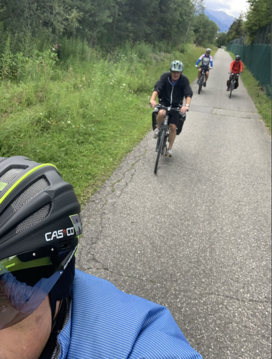
Eine grßartige Etappe, eingebettet in eine wundervolle Landschaft - die Dolomiten neben der Drau und blühende Wiesen überall.

Tour gallery

Tour map and elevation profile

  • Open Street Map
  • Google
Minimum height 634 m Maximum height 1211 m Detailed view

More about the tour author

exitus
Member since 2006

Send private message

Comments

Von überall mit dem Zug nach Toblach / Dobbiaco und von dort aus die erste Etappe in Angriff nemen ;-)

GPS tracks

Trackpoints
  • GPX / Garmin Map Source (gpx) download
  • TCX / Garmin Training Center® (tcx) download
  • CRS / Garmin Training Center® (crs) download
  • Google Earth (kml) download
  • G7ToWin (g7t) download
  • TTQV (trk) download
  • Overlay (ovl) download
  • Fugawi (txt) download
  • Kompass (DAV) Track (tk) download
  • Track data sheet (pdf) download
  • Original file of the author (gpx) download

More about the tour author

exitus
Member since 2006

Send private message
Share track
Add to my favorites
Remove from my favorites
Edit tags
My score
Rate
Track: Drauradweg 1, von Toblach/Dobbiaco nach Nikolsdorf
Type: Bicycle tours
Distance: 68,7 km
Evaluated on:
Duration:
Day(s)
Hour(s)
Minute(s)
Score: Landscape Fun factor Fitness Technique