


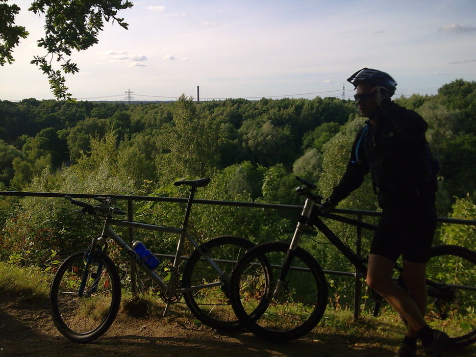
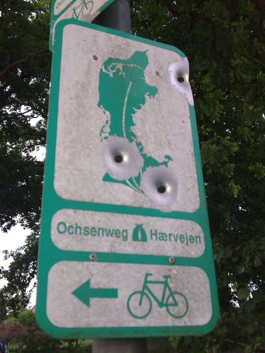
los ging es über die kiesgruben trails in blankenese dann weiter zum wedeler au trail, dann durch den klövensteen zu den holmer sandbergen, hier haben wir einige kleine schleifen gedreht und über den ochsenweg ging es dann zum italiener trail und dann durch wedel zum elbhang. am wittenberger leuchtturm haben wir dann erstmal die aussicht genossen. kurz downhill und dann stand der puppen-uphill an  dann wieder downhill am falkensteiner ufer. weissbierpause beim netten opa! erdinger weissbier für € 2,40 wo gibts denn so etwas noch
  und dann ging es nochmal schnell über den waseberg zurück!
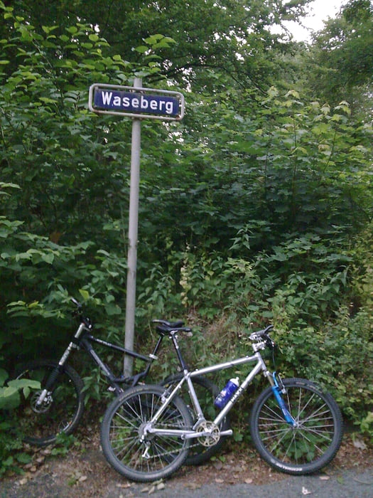
Further information at
http://www.hegibiketours.de/Tour gallery

Tour map and elevation profile
Minimum height
Maximum height 78 m
More about the tour author
|
|
hegi |
Comments

S-Bahnhof Blankenese
GPS tracks
Trackpoints-
GPX / Garmin Map Source (gpx) download
-
TCX / Garmin Training Center® (tcx) download
-
CRS / Garmin Training Center® (crs) download
-
Google Earth (kml) download
-
G7ToWin (g7t) download
-
TTQV (trk) download
-
Overlay (ovl) download
-
Fugawi (txt) download
-
Kompass (DAV) Track (tk) download
-
Track data sheet (pdf) download
-
Original file of the author (gpx) download
More about the tour author
|
|
hegi |
Add to my favorites
Remove from my favorites
Edit tags
Open track
My score
Rate