Login

Forgot your login?

Cookies have to be accepted!
Your browser's cookie functionality is disabled. Please enable this functionality.

Not a member yet?

Register now
Login

Available for registred users only

Log in to use this feature.

Forgot your login?

Cookies have to be accepted!
Your browser's cookie functionality is disabled. Please enable this functionality.

Not a member yet?

Register now
Filter
Categories
Advanced filters
  • Distance (km)
  • Height
Save filters Reset filter

TrackRank

QRCode

Technical data

Distance7,0 km Height352 m Way down352 m Duration00:00 h:m Date04.03.2021
Scores Author Landscape Fun factor Fitness Technique

Statistics

167 Views 1 Score 31 Downloads 1.00 Average
Rate
  • Track data sheet
  • Directions
  • Downloads
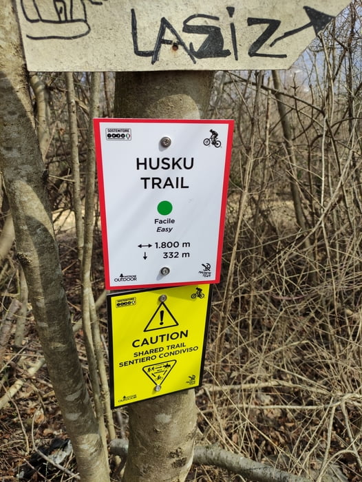
BELLO ABBASTANZA FACILE, MEGLIO SE ASCIUTTO

Further information at

https://www.youtube.com/watch?v=I3yt9vTW8uw

Tour map and elevation profile

  • Open Street Map
  • Google
Minimum height 215 m Maximum height 574 m Detailed view

More about the tour author

dalle6161
Member since 2011

Send private message

Comments

GPS tracks

Trackpoints
  • GPX / Garmin Map Source (gpx) download
  • TCX / Garmin Training Center® (tcx) download
  • CRS / Garmin Training Center® (crs) download
  • Google Earth (kml) download
  • G7ToWin (g7t) download
  • TTQV (trk) download
  • Overlay (ovl) download
  • Fugawi (txt) download
  • Kompass (DAV) Track (tk) download
  • Track data sheet (pdf) download
  • Original file of the author (gpx) download

More about the tour author

dalle6161
Member since 2011

Send private message
Share track
Add to my favorites
Remove from my favorites
Edit tags
My score
Rate
Track: HUSKA TRAIL
Type: Mountain bike
Distance: 7,0 km
Evaluated on:
Duration:
Day(s)
Hour(s)
Minute(s)
Score: Landscape Fun factor Fitness Technique