Login

Forgot your login?

Cookies have to be accepted!
Your browser's cookie functionality is disabled. Please enable this functionality.

Not a member yet?

Register now
Login

Available for registred users only

Log in to use this feature.

Forgot your login?

Cookies have to be accepted!
Your browser's cookie functionality is disabled. Please enable this functionality.

Not a member yet?

Register now
Filter
Categories
Advanced filters
  • Distance (km)
  • Height
Save filters Reset filter

TrackRank

QRCode

Technical data

Distance20,2 km Height248 m Way down211 m Duration05:00 h:m Date19.04.2020
Scores Author Landscape Fun factor Fitness Technique

Statistics

218 Views Scores 7 Downloads Average
Rate
  • Track data sheet
  • Directions
  • Downloads
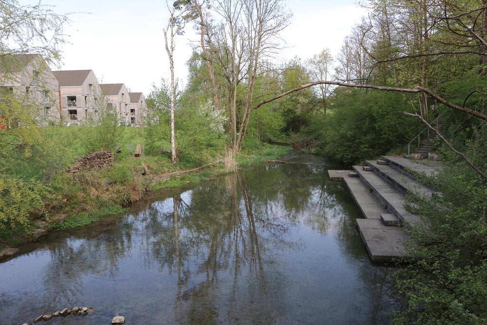
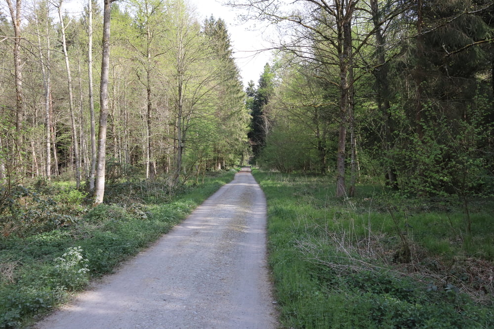
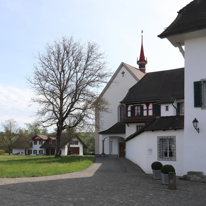
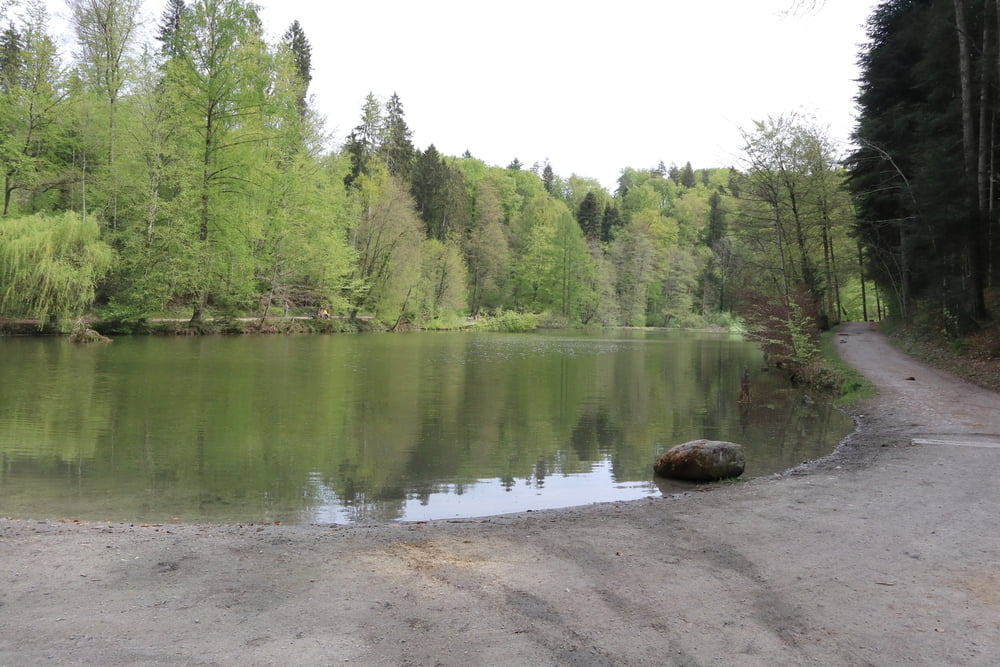
Eine lokale Wanderung - durchgeführt in der Corona-Zeit, als zur Vermeidung von Verletzungsgefahren von Bergtouren abgeraten wurde. Eine gute Möglichkeit, die nähere Umgebung besser kennenzulernen. Diese Tour ist abwechslungsreich - mit Waldpassagen, aber auch durch Orte.

Tour gallery

Tour map and elevation profile

  • Open Street Map
  • Google
Minimum height 389 m Maximum height 491 m Detailed view

More about the tour author

s-braeutigam
Member since 2009

Send private message

Comments

GPS tracks

Trackpoints
  • GPX / Garmin Map Source (gpx) download
  • TCX / Garmin Training Center® (tcx) download
  • CRS / Garmin Training Center® (crs) download
  • Google Earth (kml) download
  • G7ToWin (g7t) download
  • TTQV (trk) download
  • Overlay (ovl) download
  • Fugawi (txt) download
  • Kompass (DAV) Track (tk) download
  • Track data sheet (pdf) download
  • Original file of the author (gpx) download

More about the tour author

s-braeutigam
Member since 2009

Send private message
Share track
Add to my favorites
Remove from my favorites
Edit tags
My score
Rate
Track: Cham - Frauenthal - Knonau - Steinhausen - Cham (Rundweg)
Type: Hiking
Distance: 20,2 km
Evaluated on:
Duration:
Day(s)
Hour(s)
Minute(s)
Score: Landscape Fun factor Fitness Technique