


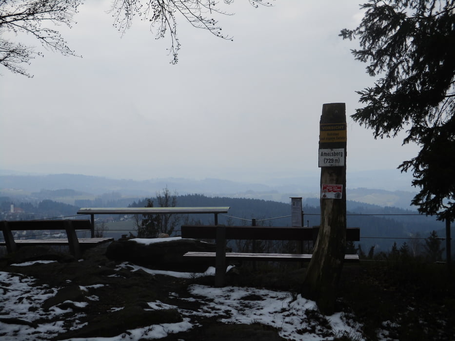
Vom Ortszentrum vorbei am Gelände des Baumkronenwegs hinauf zur Radarstation am Feichtberg. Über Kahlberg hinüber zum Ameisberg. Bei Schönwetter beeindruckender Panoramablick. Weiter zum ehemaligen Steinbruch in Ach. Durch den Wald hinunter nach Neukirchendorf, Ruholding und Dobl und kurz aufwärts durch den Wald nach Götzendorf und zum Ausgangspunkt.
Hervorragend beschildert mit der Wandernummer 3.
Further information at
https://www.kopfing.at/Unser_Kopfing/Wandern_in_KopfingTour gallery

Tour map and elevation profile
Minimum height 509 m
Maximum height 748 m
More about the tour author

|
JoHangler |
Comments

Kopfing liegt zentral im Sauwald und ist sowohl von Schärding als auch von Sighartig, Peuerbach oder Engelhartszell leicht zu erreichen.
GPS tracks
Trackpoints-
GPX / Garmin Map Source (gpx) download
-
TCX / Garmin Training Center® (tcx) download
-
CRS / Garmin Training Center® (crs) download
-
Google Earth (kml) download
-
G7ToWin (g7t) download
-
TTQV (trk) download
-
Overlay (ovl) download
-
Fugawi (txt) download
-
Kompass (DAV) Track (tk) download
-
Track data sheet (pdf) download
-
Original file of the author (gpx) download
More about the tour author
|
|
JoHangler |
Add to my favorites
Remove from my favorites
Edit tags
Open track
My score
Rate