


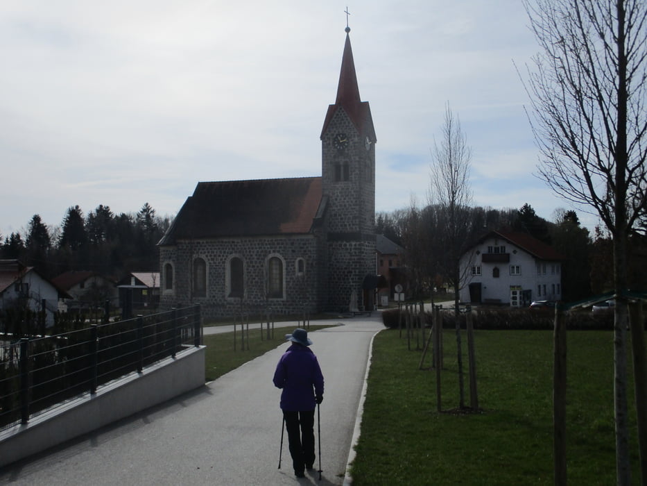
Kasten - Vichtenstein - Unterweinbrunn - Jagabildkapelle - Haugstein - Stadl - Leitenbachtal - Engelhartszell.
Genaue Beschreibung und Beschilderung beim weiterführenden Link!
Further information at
https://www.donauregion.at/touren.html?tourid=13674901#dmdtab=oax-tab3&ipd=1373116Tour gallery


Tour map and elevation profile
Minimum height 288 m
Maximum height 921 m
More about the tour author

|
JoHangler |
Comments

Engelhartszell bzw. Kasten liegen an der B 130 - Eferding-Passau.
Von Schärding auf der B 136 über Münzkirchen nach Engelhartszell bzw. über St. Roman und Vichtenstein nach Kasten.
Von Schärding auf der B 136 über Münzkirchen nach Engelhartszell bzw. über St. Roman und Vichtenstein nach Kasten.
GPS tracks
Trackpoints-
GPX / Garmin Map Source (gpx) download
-
TCX / Garmin Training Center® (tcx) download
-
CRS / Garmin Training Center® (crs) download
-
Google Earth (kml) download
-
G7ToWin (g7t) download
-
TTQV (trk) download
-
Overlay (ovl) download
-
Fugawi (txt) download
-
Kompass (DAV) Track (tk) download
-
Track data sheet (pdf) download
-
Original file of the author (gpx) download
More about the tour author
|
|
JoHangler |
Add to my favorites
Remove from my favorites
Edit tags
Open track
My score
Rate