


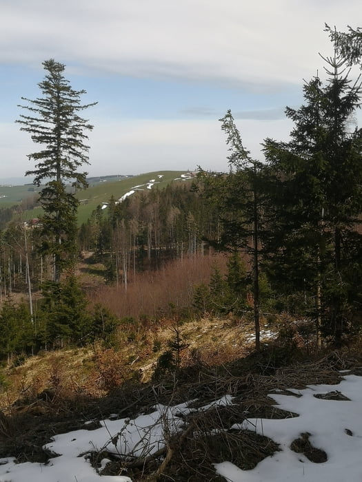
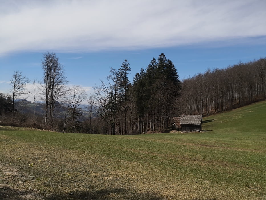
Starte meine Tour am Sparparkplatz an der Werndlstr. in Steyr. Stadteinwärts Richtung Bahnhof. Dann am Firmengelände von MAN vorbei rauf zur Waldrandsiedlung und runter zur Kleinramingerstr. Diese fahren wir rauf bis kurz nach Kleinraming. Rechts abzeigen in die Kohler Graben, dann wieder links in den Großen Kohler Graben. Zuerst noch Asphlt aber bald schon Forststrasse. Am höchsten Punkt der Tour gehts retour in den Kleinen Kohler Graben. Gibt auch einige Varianten zum Abzweigen. Nach einem kurzen Asphaltstück links rauf Richtung Schwarzberg. Oben bei der Hertlerwiese wieder runter nach Unterdambach. Leider ist zur Zeit kein Gatshaus offen, aber der Weidmann wäre eine gute Möglichkeit zur Einkehr. Zurück neben der Enns zum Ausgangspunkt.
Tour gallery


Tour map and elevation profile
Minimum height 299 m
Maximum height 790 m
More about the tour author
|
|
Ritchy3 |
Comments

An der Werndlstr . Richtung Garsten am Sparplkplatz ist diesesmal mein Startpunkt.
GPS tracks
Trackpoints-
GPX / Garmin Map Source (gpx) download
-
TCX / Garmin Training Center® (tcx) download
-
CRS / Garmin Training Center® (crs) download
-
Google Earth (kml) download
-
G7ToWin (g7t) download
-
TTQV (trk) download
-
Overlay (ovl) download
-
Fugawi (txt) download
-
Kompass (DAV) Track (tk) download
-
Track data sheet (pdf) download
-
Original file of the author (gpx) download
More about the tour author
|
|
Ritchy3 |
Add to my favorites
Remove from my favorites
Edit tags
Open track
My score
Rate