Login

Forgot your login?

Cookies have to be accepted!
Your browser's cookie functionality is disabled. Please enable this functionality.

Not a member yet?

Register now
Login

Available for registred users only

Log in to use this feature.

Forgot your login?

Cookies have to be accepted!
Your browser's cookie functionality is disabled. Please enable this functionality.

Not a member yet?

Register now
Filter
Categories
Advanced filters
  • Distance (km)
  • Height
Save filters Reset filter

TrackRank

QRCode

Technical data

Distance70,3 km Height767 m Way down769 m Duration03:00 h:m Date14.04.2021
Scores Author Landscape Fun factor Fitness Technique

Statistics

172 Views Scores 30 Downloads Average
Rate
  • Track data sheet
  • Directions
  • Downloads
Die Route verläuft auf ruhigen Nebenstraßen und hat einige knackige Anstiege. Ich bin die Route im Uhrzeigersinn gefahren.
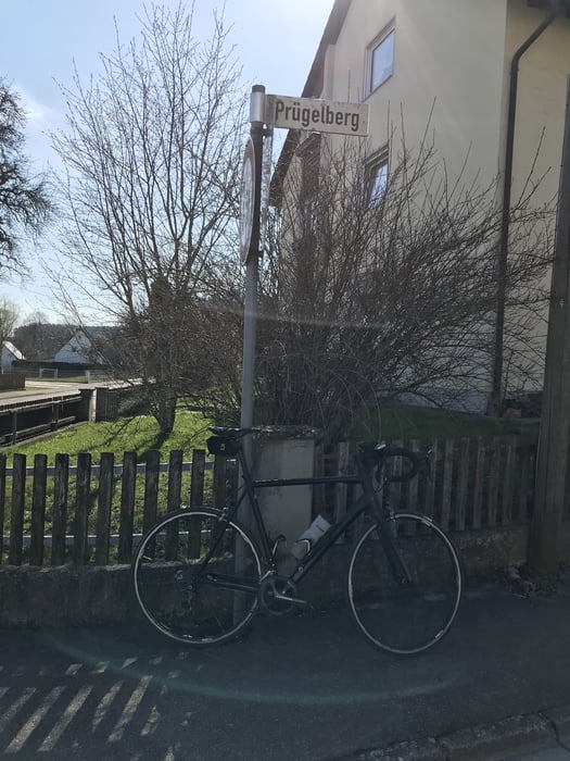
Tour gallery

Tour map and elevation profile

  • Open Street Map
  • Google
Minimum height 506 m Maximum height 610 m Detailed view

More about the tour author

XD42
Member since 2008

Send private message

Comments

Start ist Niederraunau an der Kirche, kann aber von jedem anderen Startpunkt genauso gut gefahren werden.

GPS tracks

Trackpoints
  • GPX / Garmin Map Source (gpx) download
  • TCX / Garmin Training Center® (tcx) download
  • CRS / Garmin Training Center® (crs) download
  • Google Earth (kml) download
  • G7ToWin (g7t) download
  • TTQV (trk) download
  • Overlay (ovl) download
  • Fugawi (txt) download
  • Kompass (DAV) Track (tk) download
  • Track data sheet (pdf) download
  • Original file of the author (gpx) download

More about the tour author

XD42
Member since 2008

Send private message
Share track
Add to my favorites
Remove from my favorites
Edit tags
My score
Rate
Track: Prügel
Type: Road biking
Distance: 70,3 km
Evaluated on:
Duration:
Day(s)
Hour(s)
Minute(s)
Score: Landscape Fun factor Fitness Technique