Login

Forgot your login?

Cookies have to be accepted!
Your browser's cookie functionality is disabled. Please enable this functionality.

Not a member yet?

Register now
Login

Available for registred users only

Log in to use this feature.

Forgot your login?

Cookies have to be accepted!
Your browser's cookie functionality is disabled. Please enable this functionality.

Not a member yet?

Register now
Filter
Categories
Advanced filters
  • Distance (km)
  • Height
Save filters Reset filter

TrackRank

QRCode

Technical data

Distance14,3 km Height679 m Way down1009 m Duration00:00 h:m Date03.02.2021
Scores Author Landscape Fun factor Fitness Technique

Statistics

183 Views Scores 13 Downloads Average
Rate
  • Track data sheet
  • Directions
  • Downloads
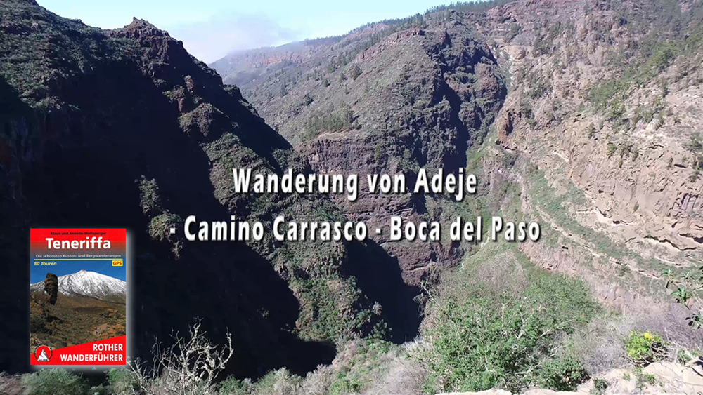
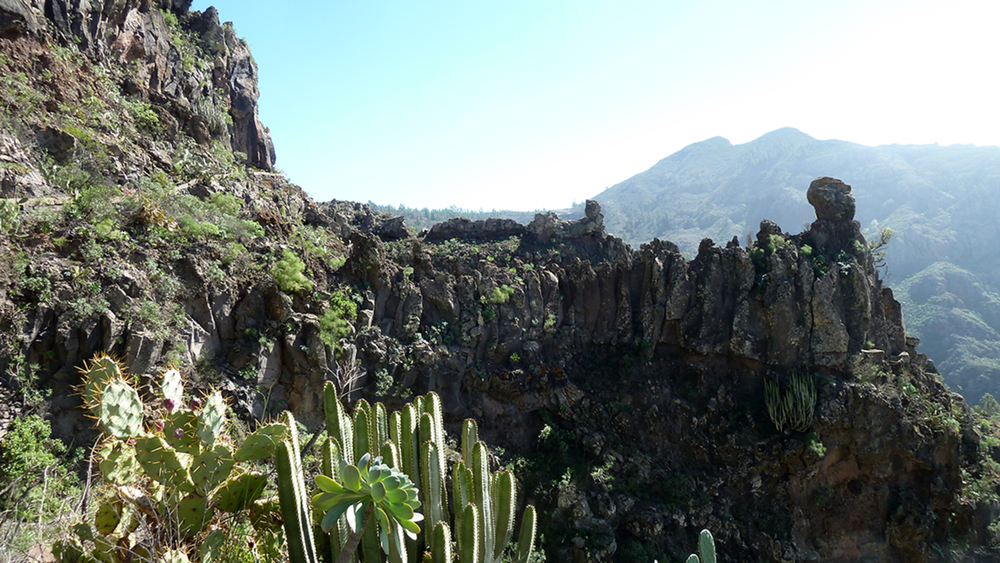
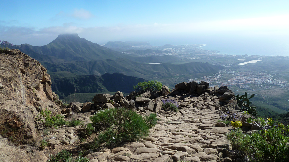
Wir starten am Ortsrand von Adeje und gehen über den Camino Carrasco bis wir oberhalb der Schlucht vom Barronco del Infierno sind. Durch Kiefernwälder gehen wir entlang der Schlucht bis wir den Barranco del Infierno queren und auf die Talseite wechseln. Nun geht es im auf und ab inmitten von Wald und Berghängen bis zum Boca del Paso. Von dort geht es über Serpentinen hinunter zum Ausgangspunkt.

Tour gallery

Tour map and elevation profile

  • Open Street Map
  • Google
Minimum height 214 m Maximum height 1108 m Detailed view

More about the tour author

schleidy
Member since 2013

Send private message

Comments

GPS tracks

Trackpoints
  • GPX / Garmin Map Source (gpx) download
  • TCX / Garmin Training Center® (tcx) download
  • CRS / Garmin Training Center® (crs) download
  • Google Earth (kml) download
  • G7ToWin (g7t) download
  • TTQV (trk) download
  • Overlay (ovl) download
  • Fugawi (txt) download
  • Kompass (DAV) Track (tk) download
  • Track data sheet (pdf) download
  • Original file of the author (gpx) download

More about the tour author

schleidy
Member since 2013

Send private message
Share track
Add to my favorites
Remove from my favorites
Edit tags
My score
Rate
Track: Von Adeje über Camino Carrasco zum Boca del Paso
Type: Hiking
Distance: 14,3 km
Evaluated on:
Duration:
Day(s)
Hour(s)
Minute(s)
Score: Landscape Fun factor Fitness Technique