


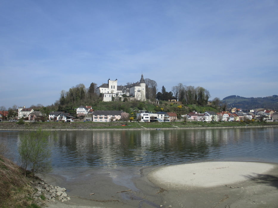
Parkplatz beim Eferdinger Freibad nach Wörth, weiter nach Unterschaden. Vorbei an der Kläranlage zur Donau. Auf dem Damm bis zum Kraftwerk Ottensheim. Über den Innbach nach Fall, hier links runter zum Fischlehrpfad. Durch Auwald zur Rollfähre Wilhering-Ottensheim.
Genaue Beschrebung beim Link.
Ebene Strecke, sehr viel Asphaltanteil.
Further information at
https://www.outdooractive.com/de/route/fernwanderweg/donau-oberoesterreich/donausteig-etappe-2_g02-eferding-wilhering-donau-wasserstrasse-und/1373118/#dmdtab=oax-tab4&oax-reviews-anchorTour gallery
Tour map and elevation profile
Minimum height 233 m
Maximum height 319 m
More about the tour author

|
JoHangler |
Comments

Eferding und Wilhering sind von Linz auf der B129 erreichbar.
Ein Rücktransfer von Wilhering ist via Bus möglich.
GPS tracks
Trackpoints-
GPX / Garmin Map Source (gpx) download
-
TCX / Garmin Training Center® (tcx) download
-
CRS / Garmin Training Center® (crs) download
-
Google Earth (kml) download
-
G7ToWin (g7t) download
-
TTQV (trk) download
-
Overlay (ovl) download
-
Fugawi (txt) download
-
Kompass (DAV) Track (tk) download
-
Track data sheet (pdf) download
-
Original file of the author (gpx) download
More about the tour author
|
|
JoHangler |
Add to my favorites
Remove from my favorites
Edit tags
Open track
My score
Rate