


- MTB-Tour im Uhrzeigersinn.(mit E-MTB gefahren)
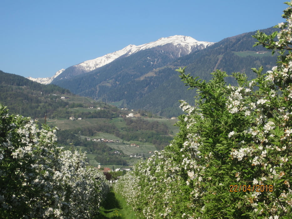
- Von Marling auf asfaltierten Nebenstrassen durch die Obstgärten nach Unterrain.
- Von Unterrain, (KM 23,2 - MH 238) auf einem teilweise steilen Karrenweg, hoch nach Missian.
- Weiter auf asfaltierten Nebenstrassen, kurzer Abschnitt auf einem Feldweg, nach Perdonig. Weiter nach Gaid. Einkehr beim Gasthof "Moarhof".
- Kurz nach dem Moarhof beginnt ein angenehm ansteigender Forstweg bis zum höchsten Punkt der Tour (KM 39,6 - MH 1.213).
- Weiter auf dem Forstweg bis Obersirmian. Weiter auf Forstweg/Steig nach Grissian (Einkehrmöglichkeit).
- Abfahrt nach Prissian. Weiter auf Feldwegen nach Tisens.
- Am Hyppolit Weiher entlang, über eine Brücke aus der Römerzeit, nach Völlan.
- Kastanienerlebnisweg.
- Kurze Abfahrt auf holprigem Karrenweg.
- Kurze, steile Abfahrt auf Asfalt nach Lana
Tour gallery


Tour map and elevation profile
Minimum height 213 m
Maximum height 1225 m
More about the tour author
|
|
MargesinFriedrich |
Comments

GPS tracks
Trackpoints-
GPX / Garmin Map Source (gpx) download
-
TCX / Garmin Training Center® (tcx) download
-
CRS / Garmin Training Center® (crs) download
-
Google Earth (kml) download
-
G7ToWin (g7t) download
-
TTQV (trk) download
-
Overlay (ovl) download
-
Fugawi (txt) download
-
Kompass (DAV) Track (tk) download
-
Track data sheet (pdf) download
-
Original file of the author (gpx) download
More about the tour author
|
|
MargesinFriedrich |
Add to my favorites
Remove from my favorites
Edit tags
Open track
My score
Rate