


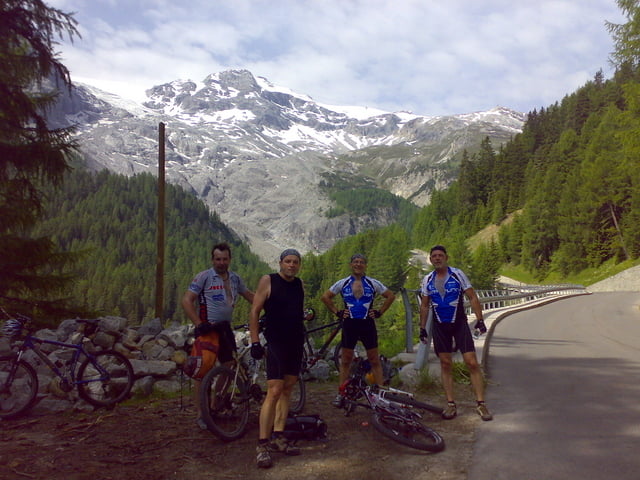
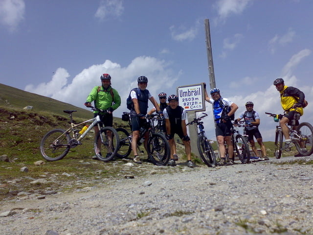
Von unserem Hotel in Prad geht es die komplette Runde auf Asphalt. Über Stilfs und Gomagoi fahren wir über 49 Kehren zum Stilfserjoch. Nach einer kurzen Rast beim Tibethaus geht es über den Umbrailpass in die Schweiz. Hinunter über teilweise Naturstrassen geht es ins Unesco Weltkulturerbe Val Mustair. Wer hier noch Zeit hat sollte sich ein wenig umschauen. Über die älteste und kleinste Stadt Südtirols Glurns wo sich nochmal ein Halt anbietet geht es zurück ins Hotel Zentral in Prad.
Further information at
http://www.zentral.itTour gallery


Tour map and elevation profile
Minimum height 888 m
Maximum height 2787 m
More about the tour author
|
|
Uli |
Comments

Vom Reschenpass kommend auf der SS40 bis Spondinig. Dort rechts ab nach Prad. In Prad ist das Hotel Zentral un
GPS tracks
Trackpoints-
GPX / Garmin Map Source (gpx) download
-
TCX / Garmin Training Center® (tcx) download
-
CRS / Garmin Training Center® (crs) download
-
Google Earth (kml) download
-
G7ToWin (g7t) download
-
TTQV (trk) download
-
Overlay (ovl) download
-
Fugawi (txt) download
-
Kompass (DAV) Track (tk) download
-
Track data sheet (pdf) download
-
Original file of the author (gpx) download
More about the tour author
|
|
Uli |
Add to my favorites
Remove from my favorites
Edit tags
Open track
My score
Rate