


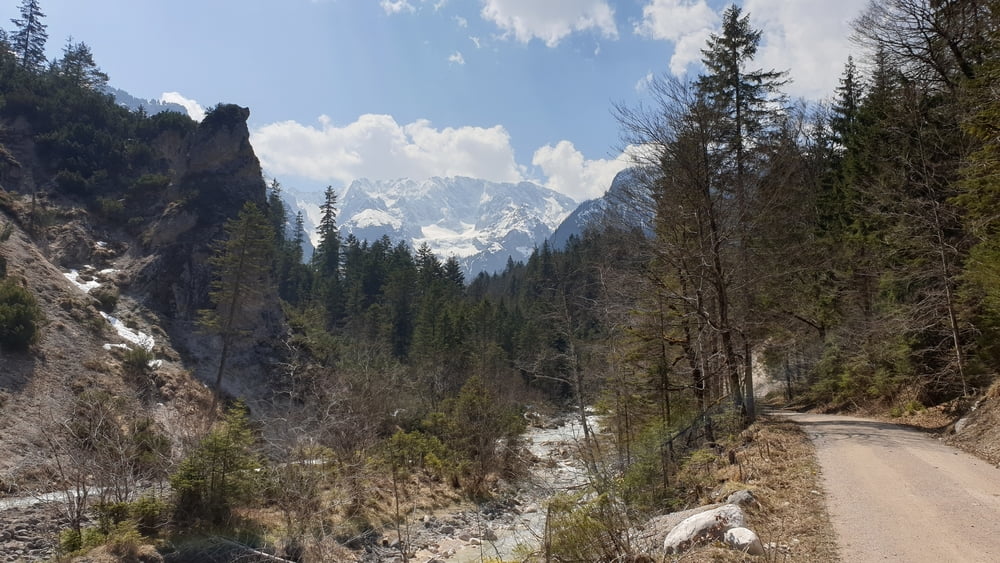
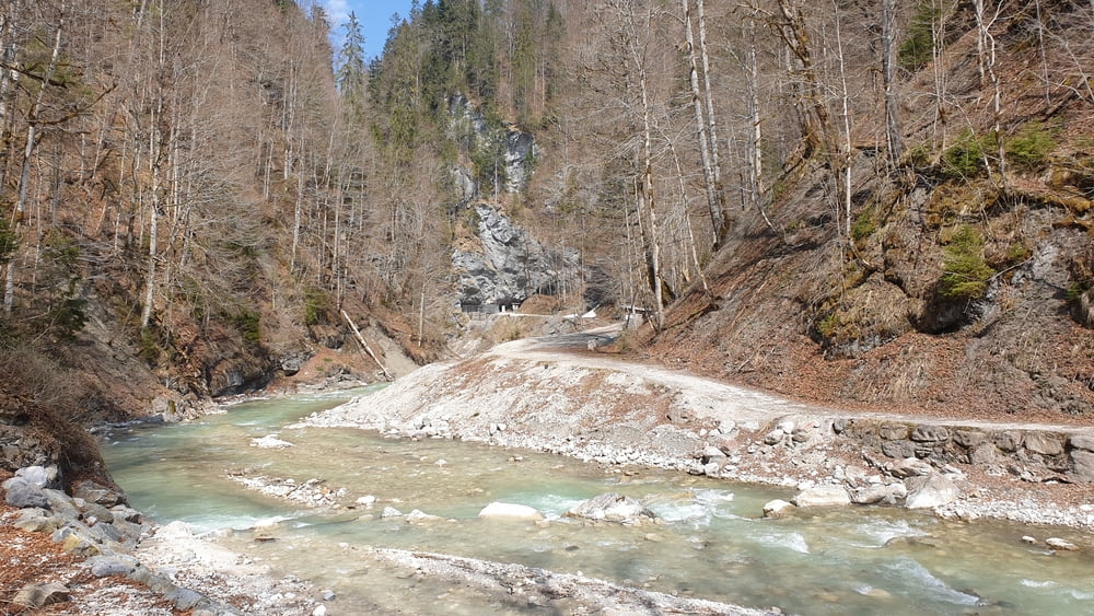
Moser Bike Guide Tour als Wanderung. Start ist am Olympia Skistadion in Garmisch-Partenkirchen. Von dort geht es in Richtung Partnachklamm. Noch bevor man den Eingang der Klamm erreicht biegt man rechts auf den Weg hoch ins Reintal ab. Man passiert die Partnachalm und später den Reintaler Hof, bevor es wieder hinterunter zum Ausgang der Partnachklamm geht. Von dort geht es am Ferchenbach entlang zum Schloß Elmau und über Hinter- und Vordergraseck zurück zum Klammhaus in der Nähe des Eingangs der Partnachklamm und zum Olympia Skistadion in Garmisch-Partenkirchen.
+++ ACHTUNG +++
Der Weg am Ferchenbach entlang ist seit Jahren in mehreren Bereichen unterspült und nicht so einfach passierbar. An drei Abschnitten ist es erforderlich die Abbruchstellen über kleine, in den letzen Jahren neu entstandene Trampelpfade über das Hochufer oder das Bachbett zu umgehen. Die eine oder andere Umgehung ist mit einem Bike nahezu unmöglich und auch zu Fuß schwierig und mitunter GEFÄHRLICH!
+++ ACHTUNG +++
Tour gallery


Tour map and elevation profile
Minimum height 730 m
Maximum height 1062 m
More about the tour author

|
Comments

Von München auf der A95 über Eschenlohe, Oberau und Farchant zum Parkplatz am Olympia Skistadion in Garmisch-Partenkrichen
GPS tracks
Trackpoints-
GPX / Garmin Map Source (gpx) download
-
TCX / Garmin Training Center® (tcx) download
-
CRS / Garmin Training Center® (crs) download
-
Google Earth (kml) download
-
G7ToWin (g7t) download
-
TTQV (trk) download
-
Overlay (ovl) download
-
Fugawi (txt) download
-
Kompass (DAV) Track (tk) download
-
Track data sheet (pdf) download
-
Original file of the author (tcx) download
More about the tour author
|
|
Add to my favorites
Remove from my favorites
Edit tags
Open track
My score
Rate