


Moser Bike Guide 2 - Karwendel, Wetterstein, Werdenfels - Tour 30 - Von Garmisch ins Reintal als Wanderung.
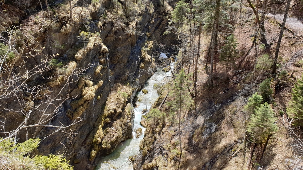
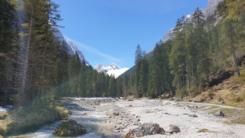
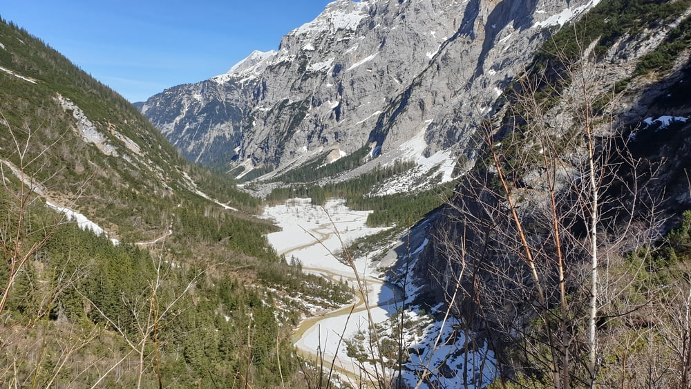
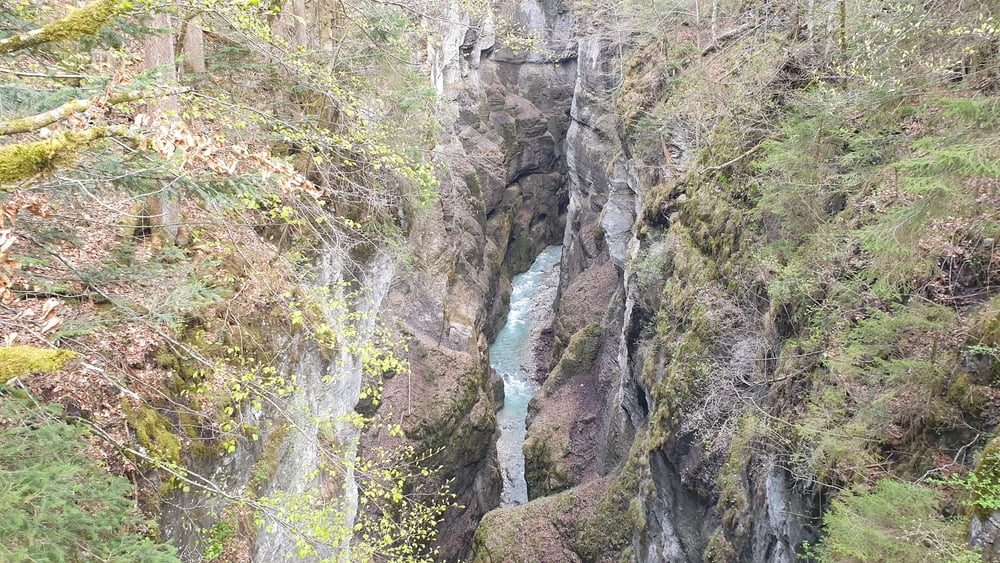
Start ist am Olympia Skistadion in Garmisch-Partenkirchen. Von dort geht es in Richtung Partnachklamm. Noch bevor man den Eingang der Klamm erreicht biegt man rechts auf den Weg hoch ins Reintal ab. Man passiert die Partnachalm und später die Laubhütte, Bockhütte bevor man letzendlich die Reintalnagerhütte erreicht. Von dort geht es erst einmal über den selben weg zurück, bevor man hinterunter zum Ausgang der Partnachklamm abzweigt. Von dort geht es dann über Kaiserschmarnalm, Vordergraseck, die Eiserne Brücke über der Partnachklamm zum Eingang dieser und dann zurück zum Ausgangspubkt am Olympia Skistadion in Garmisch-Partenkirchen.
Tour gallery
Tour map and elevation profile
Minimum height 729 m
Maximum height 1381 m
More about the tour author

|
Comments

Von München auf der A95 über Eschenlohe, Oberau und Farchant zum Parkplatz am Olympia Skistadion in Garmisch-Partenkrichen
GPS tracks
Trackpoints-
GPX / Garmin Map Source (gpx) download
-
TCX / Garmin Training Center® (tcx) download
-
CRS / Garmin Training Center® (crs) download
-
Google Earth (kml) download
-
G7ToWin (g7t) download
-
TTQV (trk) download
-
Overlay (ovl) download
-
Fugawi (txt) download
-
Kompass (DAV) Track (tk) download
-
Track data sheet (pdf) download
-
Original file of the author (tcx) download
More about the tour author
|
|
Add to my favorites
Remove from my favorites
Edit tags
Open track
My score
Rate