


Wittmar Waldhaus zur Asse – Liebespfad – Bismarckturm – Asseburg – Sportplatz Gr. Denkte – Wittmar Waldhaus zur Asse
Tourbeschreibung
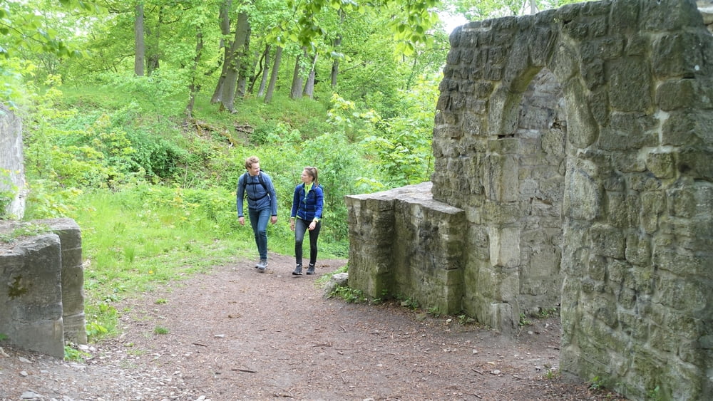
Vom Parkplatz am Waldhaus zur Asse führt die Wanderung über den Liebespfad zum Bismarckturm, der von seinem Aussichtsplateau einen beeindruckenden Blick bis in den Harz, mit seinem höchsten Berg dem Brocken (1141 m) bietet.
Die Ruinen der Asseburg sind das nächste Ziel der Wanderung (Stempelstelle 2 Nördliches Harzvorland), bevor über den Eselsstieg die Sportplätze von Gr. Denkte erreicht werden.
Von hier führt die Wanderung auf direktem Weg zurück zum Ausganspunkt am Waldhaus zur Asse in Wittmar.
Further information at
http://www.elm-freizeit.de/Tour gallery


Tour map and elevation profile
Minimum height 135 m
Maximum height 210 m
More about the tour author
|
|
mtb-tom |
Comments

Start der Wanderung Parkplatz am Waldhaus zur Asse in Wittmar
GPS tracks
Trackpoints-
GPX / Garmin Map Source (gpx) download
-
TCX / Garmin Training Center® (tcx) download
-
CRS / Garmin Training Center® (crs) download
-
Google Earth (kml) download
-
G7ToWin (g7t) download
-
TTQV (trk) download
-
Overlay (ovl) download
-
Fugawi (txt) download
-
Kompass (DAV) Track (tk) download
-
Track data sheet (pdf) download
-
Original file of the author (gpx) download
More about the tour author
|
|
mtb-tom |
Add to my favorites
Remove from my favorites
Edit tags
Open track
My score
Rate