


- Rundkurs im Uhrzeigersinn.
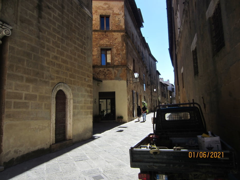
- Start/Ziel: San Quirico d Orcia.
- Wegbeschaffenheit: ca. 5 Km. Provinzstrassen mit mässigem Verkehr(Tempolimit 60). Der Rest Schotterstrassen(Strade bianche). Vom Schloss "Spedaletto" Km. 29 , auf teilweise etwas zugewachsenem, mitunter schmalem Steig dem Flussufer folgend nach Bagno Vignoni Km. 35.
- Vom Hotel "Adler Terme" weiter auf einem Steig, bzw. Feldweg bis San Quirico d Orcia.
- KM. 10 Kapelle "Madonna di Vitaleta"
- KM . 17,5 Pienza.
- KM. 29 Schloss "Spedaletto".
- KM 35 Bagno Vignoni.
- Kurze Abschnitte erfordern etwas Fahrtechnik.
- Einige kurze, steile Anstiege setzen eine gute Kondition voraus.
- PS. Bin die Runde mit dem E-Bike gefahren.
- PS. Beim Schloss "Spedaletto" nicht links abbiegen(Verfahrer).
- Bio-Brotzeit in der "Bottega di Portanuova" ausser halb des Stadttors "Portanuova" in San Quirico. Selbstgebrautes Bier.
Tour gallery


Tour map and elevation profile
Minimum height 253 m
Maximum height 494 m
More about the tour author
|
|
MargesinFriedrich |
Comments

GPS tracks
Trackpoints-
GPX / Garmin Map Source (gpx) download
-
TCX / Garmin Training Center® (tcx) download
-
CRS / Garmin Training Center® (crs) download
-
Google Earth (kml) download
-
G7ToWin (g7t) download
-
TTQV (trk) download
-
Overlay (ovl) download
-
Fugawi (txt) download
-
Kompass (DAV) Track (tk) download
-
Track data sheet (pdf) download
-
Original file of the author (gpx) download
More about the tour author
|
|
MargesinFriedrich |
Add to my favorites
Remove from my favorites
Edit tags
Open track
My score
Rate