


Bei dieser Tour stehen 200 km per MTB an. Daher ist sie auch sehr Asphalt lastig.
Start Hamburg Lemsahl - Ohlstedt - Ammerbek - Bünningstedt - Dehlingsdorf - Tremsbüttel - Süderbestetrail - Rümpel - Bad Oldesloe - Traveflow - Reinfeldtrail - Bäcker in Reinfeld (Frühstück) - Herrenteich - Heidekamp - Badendorf - kurz mal nach Lübeck - Eckhorst - Arfrade - Lübeck Sicht - Klein Parin - Horsdorf - Pansdorf - Scharbeutz - am Ende von Sierkdorf / Ostsee baden ohne Kurtaxe - Rosenberg - Övelgönne - Roge - Gömitzer Berg - Kasseedorf - Restaurant 168 üNN (Siesta mit super Pasta) - Bungsberg 167,4 m / Top of SH - Kirchmühl - Sagau - Eutiner See - Eutin - Quisdorf - Hassendorf - Liethkaten - Berlin - Hohlegruft - Klein Rönnau - Großer Segeberger See - Bad Segeberg (Kaffeepause im Einstein) - Klein Gladebrügge - Schwissel - Bebensee - Tralau - Klingberg - Sülfeld - Gräberkate - Waldesruh Wilhelm - Duvenstedter Brook - Duvenstedt - Lemsahl
Further information at
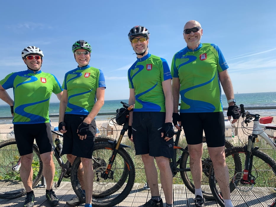
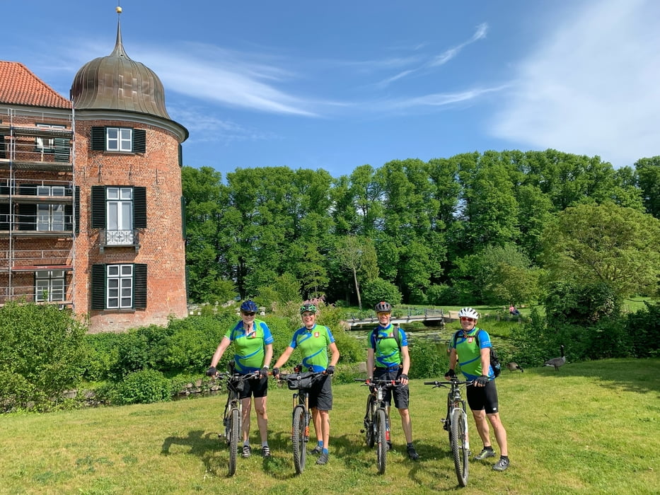
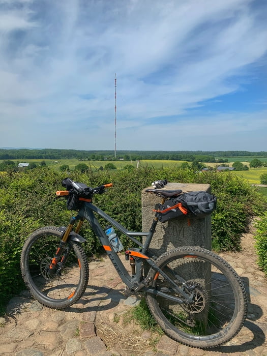
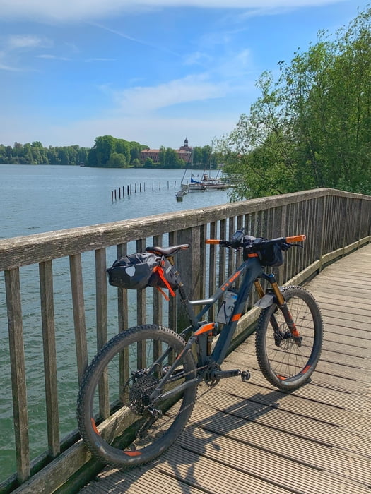
https://www.holsteinischeschweiz.de/gastro/cafe-restaurant-168-ue-nnTour gallery
Tour map and elevation profile
Minimum height
Maximum height 166 m
More about the tour author
|
|
hegi |
Comments

Start in Hamburg Lemsahl. Hier kann man in den Wohngegenden parken
GPS tracks
Trackpoints-
GPX / Garmin Map Source (gpx) download
-
TCX / Garmin Training Center® (tcx) download
-
CRS / Garmin Training Center® (crs) download
-
Google Earth (kml) download
-
G7ToWin (g7t) download
-
TTQV (trk) download
-
Overlay (ovl) download
-
Fugawi (txt) download
-
Kompass (DAV) Track (tk) download
-
Track data sheet (pdf) download
-
Original file of the author (gpx) download
More about the tour author
|
|
hegi |
Add to my favorites
Remove from my favorites
Edit tags
Open track
My score
Rate