Login

Forgot your login?

Cookies have to be accepted!
Your browser's cookie functionality is disabled. Please enable this functionality.

Not a member yet?

Register now
Login

Available for registred users only

Log in to use this feature.

Forgot your login?

Cookies have to be accepted!
Your browser's cookie functionality is disabled. Please enable this functionality.

Not a member yet?

Register now
Filter
Categories
Advanced filters
  • Distance (km)
  • Height
Save filters Reset filter

TrackRank

QRCode

Technical data

Distance64,2 km Height1586 m Way down1558 m Duration05:30 h:m Date07.06.2021
Scores Author Landscape Fun factor Fitness Technique

Statistics

132 Views Scores 7 Downloads Average
Rate
  • Track data sheet
  • Directions
  • Downloads
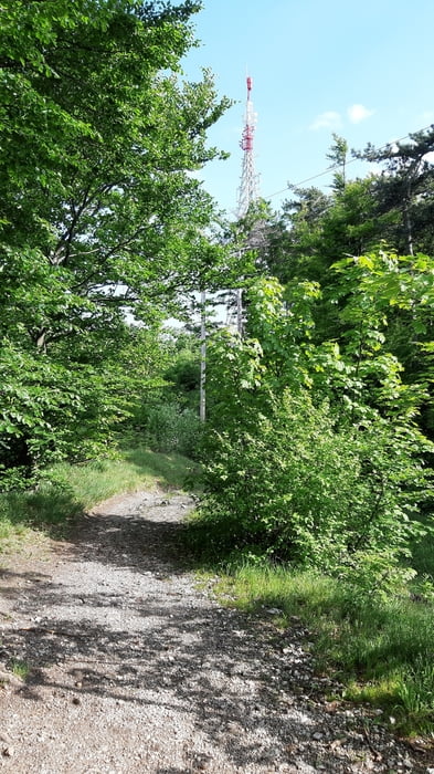
Verbindung der 3 wichtigsten "Gipfel" im Süden Wiens mit einigen teils herausfordernden Trails, z.B. vom Anninger Haus runter der Buchtaltrail auf sehr nassem Untergrund. Schöne Tour! 

Tour gallery

Tour map and elevation profile

  • Open Street Map
  • Google
Minimum height 193 m Maximum height 834 m Detailed view

More about the tour author

mitter
Member since 2008

Send private message

Comments

Start in Meidling.

GPS tracks

Trackpoints
  • GPX / Garmin Map Source (gpx) download
  • TCX / Garmin Training Center® (tcx) download
  • CRS / Garmin Training Center® (crs) download
  • Google Earth (kml) download
  • G7ToWin (g7t) download
  • TTQV (trk) download
  • Overlay (ovl) download
  • Fugawi (txt) download
  • Kompass (DAV) Track (tk) download
  • Track data sheet (pdf) download
  • Original file of the author (gpx) download

More about the tour author

mitter
Member since 2008

Send private message
Share track
Add to my favorites
Remove from my favorites
Edit tags
My score
Rate
Track: Anninger-Peilstein-Lindkogel 210606
Type: Mountain bike
Distance: 64,2 km
Evaluated on:
Duration:
Day(s)
Hour(s)
Minute(s)
Score: Landscape Fun factor Fitness Technique