


- Tour im Uhrzeigersinn.
- Start/Ziel: Meran
- Auf Radwegen nach Saltaus/Passeiertal KM 13,2 - MH 495
- Auf Asfalt(kaum Verkehr) 10-13% Steigung bis zum Weiler Videgg KM 26,3 - MH 1.550.
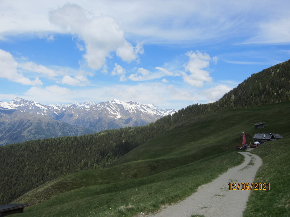
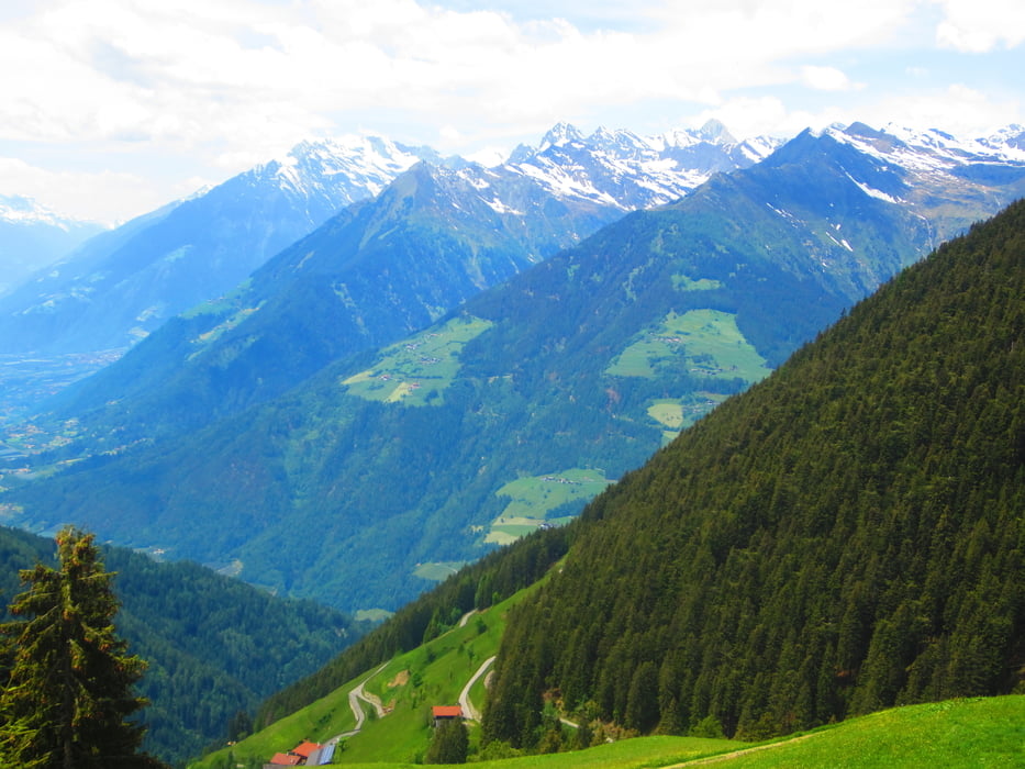
- Weiter auf gleichmässig ansteigendem Schotterweg (10-12% Steigung) bis zu den Videgger Assen (ca. 20 Ha. Almwiesen, bewirtschaftete Almhütte). Ausblick auf Meran und den Vinschgau.
- Rückfahrt auf Schotter bis Verdins (oberhalb von Schenna) und asfaltierten Nebenwegen zurück zum Ausgangspunkt.
Tour gallery


Tour map and elevation profile
Minimum height 215 m
Maximum height 1970 m
More about the tour author
|
|
MargesinFriedrich |
Comments

GPS tracks
Trackpoints-
GPX / Garmin Map Source (gpx) download
-
TCX / Garmin Training Center® (tcx) download
-
CRS / Garmin Training Center® (crs) download
-
Google Earth (kml) download
-
G7ToWin (g7t) download
-
TTQV (trk) download
-
Overlay (ovl) download
-
Fugawi (txt) download
-
Kompass (DAV) Track (tk) download
-
Track data sheet (pdf) download
-
Original file of the author (gpx) download
More about the tour author
|
|
MargesinFriedrich |
Add to my favorites
Remove from my favorites
Edit tags
Open track
My score
Rate