


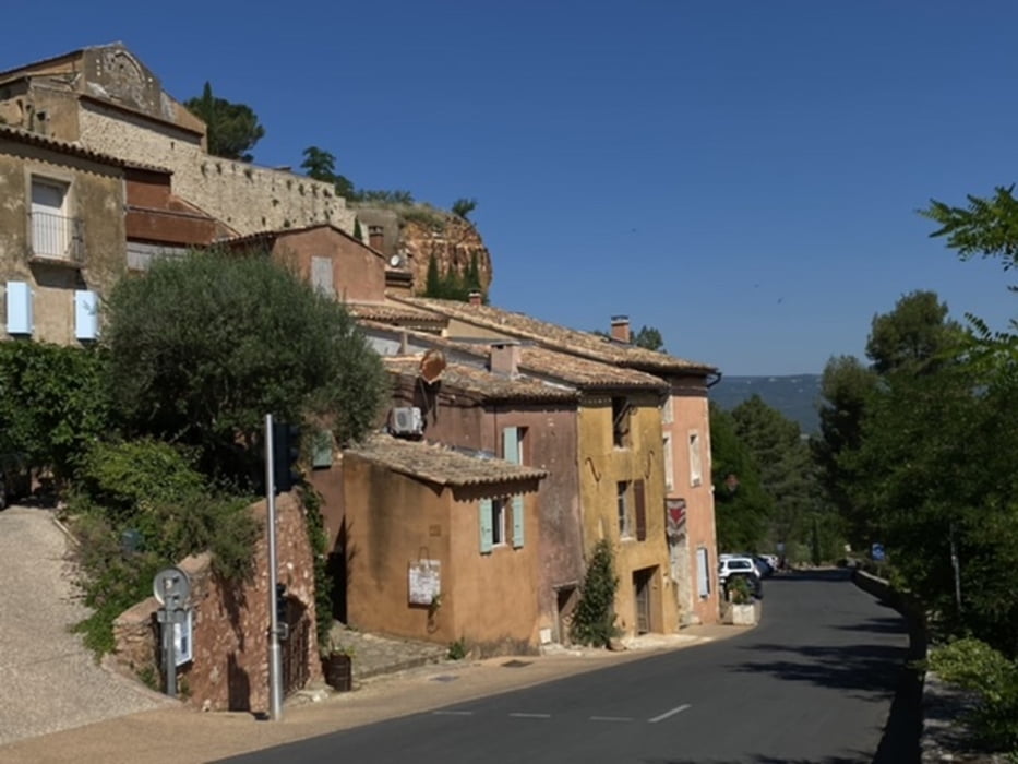
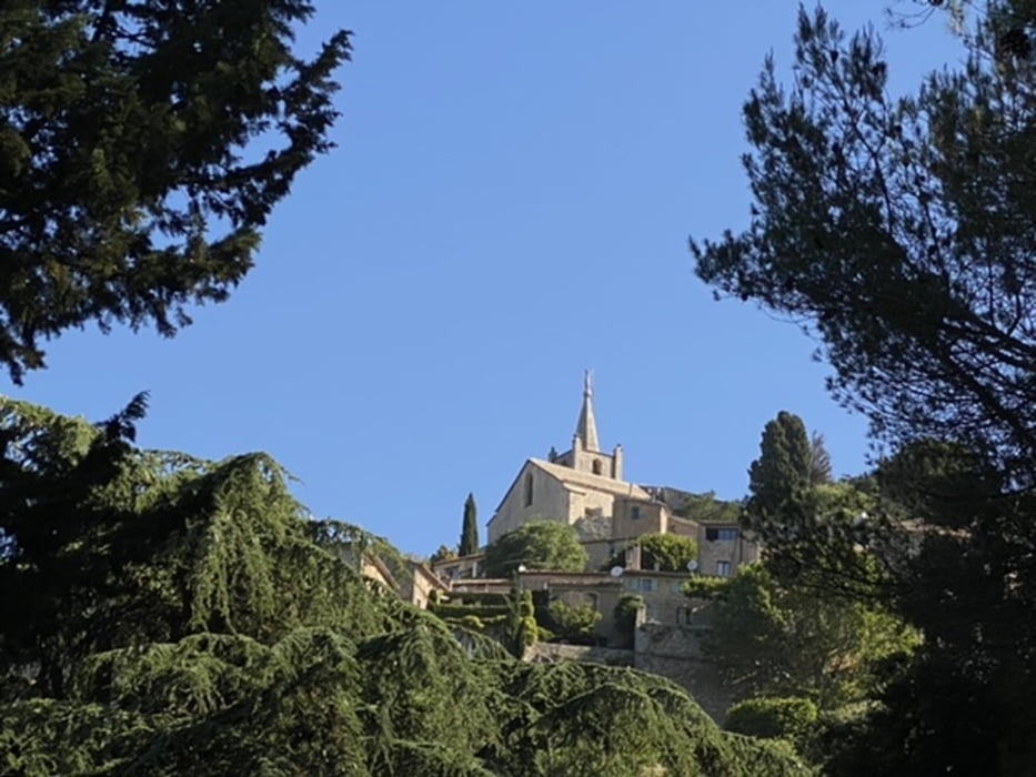
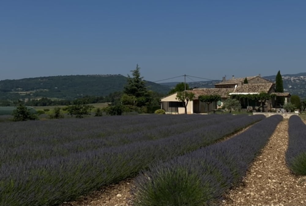
Schöne Tour auf vielen Nebenstrecken durch die Provence, Department Vaucluse.
Mit dabei Oppéde, Ménerbes, Bonnieux, Roussillion und Gordes. Wer es noch nicht gesehen hat, sollte die Strasse nach Gordes nehmen und nach dem Ort links den Aussichtspunkt auf die Stadt genießen!
Wir sind dem Trubel entgangen und unterhalb von Gordes gefahren. Hier kommt man auch an einer Wasserstelle vorbei.
Achtund: In Ménerbes der Strasse folgen und nicht die eingezeichnete Abkürzung nehmen. Am Ende sind sonst einige Treppen zu nehmen...
Tour gallery
Tour map and elevation profile
Minimum height 133 m
Maximum height 494 m
More about the tour author
|
|
Mo_on_trails |
Comments

GPS tracks
Trackpoints-
GPX / Garmin Map Source (gpx) download
-
TCX / Garmin Training Center® (tcx) download
-
CRS / Garmin Training Center® (crs) download
-
Google Earth (kml) download
-
G7ToWin (g7t) download
-
TTQV (trk) download
-
Overlay (ovl) download
-
Fugawi (txt) download
-
Kompass (DAV) Track (tk) download
-
Track data sheet (pdf) download
-
Original file of the author (gpx) download
More about the tour author
|
|
Mo_on_trails |
Add to my favorites
Remove from my favorites
Edit tags
Open track
My score
Rate