

Prambachkirchen, Obereschlbach, Birihub, Bergern, Trail in das Aschachtal, Freiling, St. Agatha, Parz, hier kommt ein sehr steiler Trail der bei feuchten Boden fast unfahrbar ist.
Pichl, Schlögenleiten, Schlögener Blick, hier sind ca 300 Meter Fahrverbot.
Pühret, Haibach ob der Donau, Bach Wiesing, Hinterberg, schöner Trail im Wald bis hinunter zur B130, dort queren
Hinterberg, Aschachtal, Ritzing, Prambachkirchen
Einschränkungen
On this tour there is a cycling ban on 0.6 kilometers!
This tour has a carry or push section on 0.2 kilometers
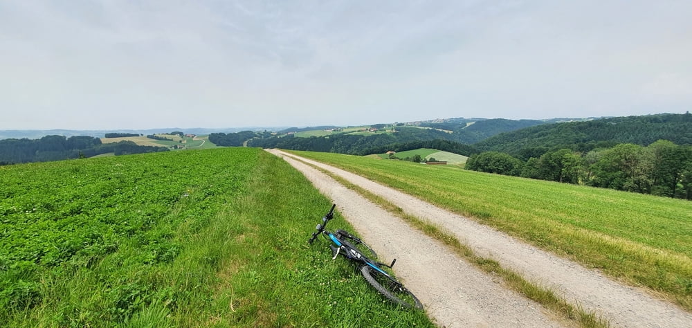
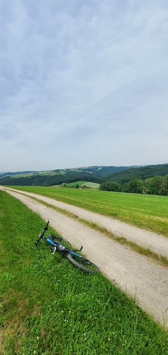
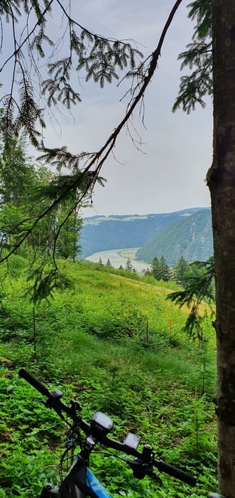
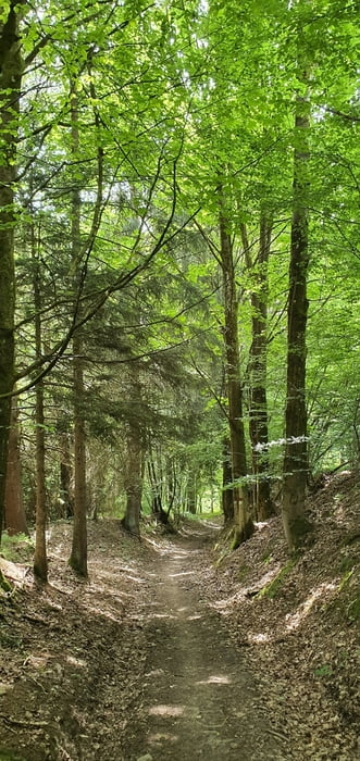
Tour gallery
Tour map and elevation profile
Minimum height 384 m
Maximum height 671 m
More about the tour author
|
|
hknmi |
Comments

Einschränkungen
On this tour there is a cycling ban on 0.6 kilometers!
This tour has a carry or push section on 0.2 kilometers
GPS tracks
Trackpoints-
GPX / Garmin Map Source (gpx) download
-
TCX / Garmin Training Center® (tcx) download
-
CRS / Garmin Training Center® (crs) download
-
Google Earth (kml) download
-
G7ToWin (g7t) download
-
TTQV (trk) download
-
Overlay (ovl) download
-
Fugawi (txt) download
-
Kompass (DAV) Track (tk) download
-
Track data sheet (pdf) download
-
Original file of the author (gpx) download
More about the tour author
|
|
hknmi |
Add to my favorites
Remove from my favorites
Edit tags
Open track
My score
Rate