


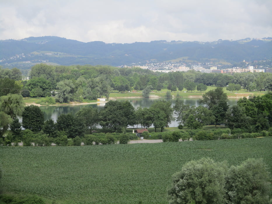
Vom Hauptplatz über die Nibelungenbrücke zum Ars-Electronica-Center. Entlang der Donau unter die zwei Donaubrücken hindurch entweder auf dem Dammweg oder entlang des Donauufers zum Pleschinger See (1 1/4 Std.). Durch den Ortsteil Plesching geht es hinauf auf den Pfenningberg (1 Std.). Der Gipfel kann in einer kurzen Schleife erstiegen werden.
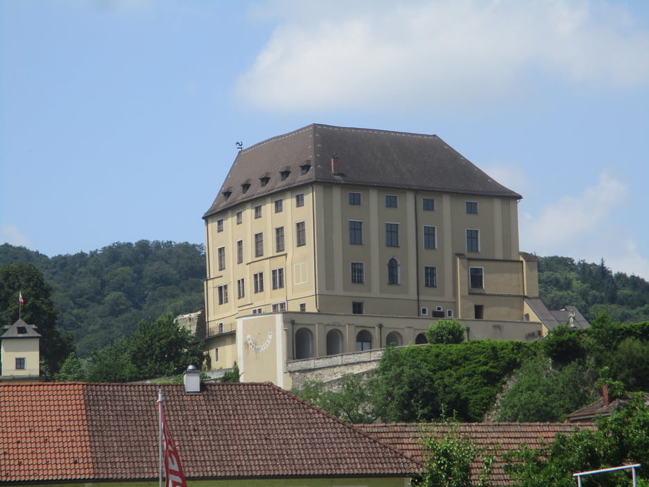
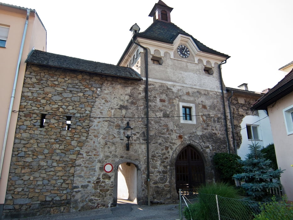
Ansonsten rechts abwärts nach Holzwinden und ins Reichenbachtal. Entlang des Tales hinaus nach Pulgarn (2 1/4 Std.). Vorbei am Kloster und hinaus zur Bahnhaltestelle. Hier auf dem Geh- und Radweg in einer 3/4 Std. nach Steyregg.
Rückkehr mit Bus oder Zug nach Linz.
Further information at
https://www.outdooractive.com/de/route/fernwanderweg/donau-oberoesterreich/donausteig-etappe-3_n07-linz-steyregg-gipfelsturm-im-linzer-becken-/1397365/Tour gallery
Tour map and elevation profile
Minimum height 219 m
Maximum height 535 m
More about the tour author

|
JoHangler |
Comments

Parkmöglichkeit entweder in der Tiefgarage am Hauptplatz oder in Urfahr im Neuen Rathaus.
GPS tracks
Trackpoints-
GPX / Garmin Map Source (gpx) download
-
TCX / Garmin Training Center® (tcx) download
-
CRS / Garmin Training Center® (crs) download
-
Google Earth (kml) download
-
G7ToWin (g7t) download
-
TTQV (trk) download
-
Overlay (ovl) download
-
Fugawi (txt) download
-
Kompass (DAV) Track (tk) download
-
Track data sheet (pdf) download
-
Original file of the author (gpx) download
More about the tour author
|
|
JoHangler |
Add to my favorites
Remove from my favorites
Edit tags
Open track
My score
Rate