


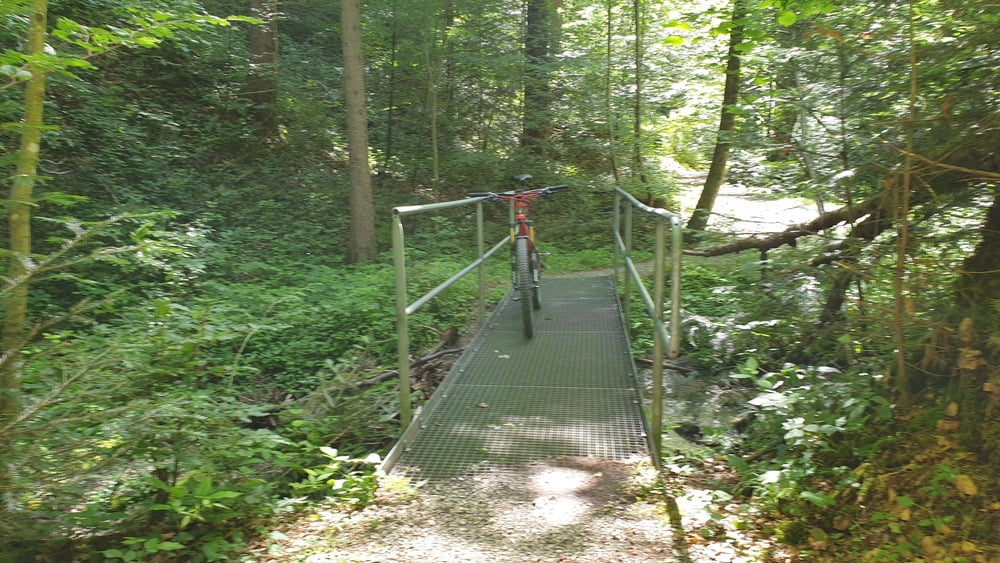
- Tattenkofer Brücke
- Waldsteig (Stufen)
- Beim Malerwinkel
- Schuß-Hof
- Berg
- Osterhofen
- Rottachmoos-Trail
- Hinterrothenrain
- Fischbachmühl-Hof
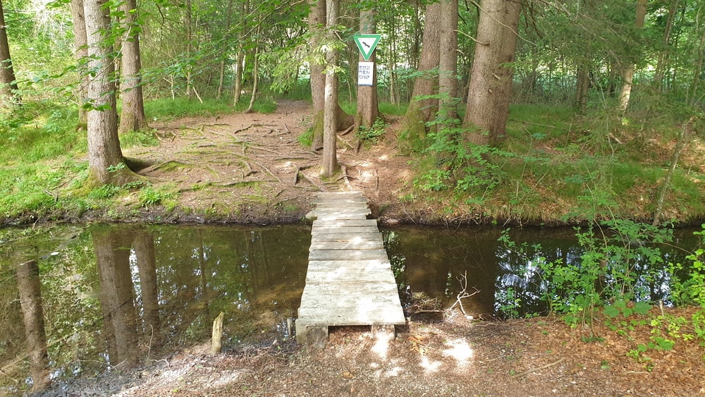
- Fischbach
- Lechen Hof
- Peterbauernbachtal
- Oberfischbach
- Golfplatz Strasser Hof
- Buchberg
- Buchberg Höfe
- Beim Wörner Hof
- Hub
- Bach Hof
- Oberbuchen
- Nähe Spiegel
- Kellershof
- Fischbach
- Leitzing
- Fiecht Hof
- Rimslrain
- Isardammweg
- Jugendsiedlung Hochland
- Schußhof
- Beim Malerwinkel
- Tattenkofer Brücke
- Waldsteig (Stufen)
- Beim Malerwinkel
- Schuß-Hof
- Berg
- Osterhofen
- Rottachmoos-Trail
- Hinterrothenrain
- Fischbachmühl-Hof
- Fischbach
- Lechen Hof
- Peterbauernbachtal
- Oberfischbach
- Golfplatz Strasser Hof
- Buchberg
- Buchberg Höfe
- Beim Wörner Hof
- Hub
- Bach Hof
- Oberbuchen
- Nähe Spiegel
- Kellershof
- Fischbach
- Leitzing
- Fiecht Hof
- Rimslrain
- Isardammweg
- Jugendsiedlung Hochland
- Schußhof
- Beim Malerwinkel
- Tattenkofer Brücke
Tour gallery


Tour map and elevation profile
Minimum height 606 m
Maximum height 821 m
More about the tour author

|
Comments

In München-Sendling vom Mittleren Ring auf die B11 nach Wolfratshausen abbiegen. In Wolfratshausen der B11 weiterhin in Richtung Geretsried folgen. Kurz vor Geretsried auf die S2369 in Richtung Peretshofen abbiegen und bevor die Isar über die Tattenkofer Brücke passiert wird, auf dem links und rechts neben der Straße befindlichen Parkplätzen an der Brücke parken.
GPS tracks
Trackpoints-
GPX / Garmin Map Source (gpx) download
-
TCX / Garmin Training Center® (tcx) download
-
CRS / Garmin Training Center® (crs) download
-
Google Earth (kml) download
-
G7ToWin (g7t) download
-
TTQV (trk) download
-
Overlay (ovl) download
-
Fugawi (txt) download
-
Kompass (DAV) Track (tk) download
-
Track data sheet (pdf) download
-
Original file of the author (tcx) download
More about the tour author
|
|
Add to my favorites
Remove from my favorites
Edit tags
Open track
My score
Rate