


Hangwanderung mit herrlichen Ausblicken von Rauris über die Poseralm nach Wörth. Auf dem Waidachweg wieder zurück.
Hinweise: Mittelschwere Wanderung. Achtung Hundebesitzer: Im Bereich Poseralm führt der Weg über eine Kuhweide. Schlechte Ausweichmöglichkeit.
Start/Ziel: Rauris
Markierung: Nr. 6, Nr. 7
Route: Rauris, Hirschebenweg – Weg Nr. 6 – Poseralm – Forsterbachtal – Wörth – Weg Nr. 7 Waidachweg - Rauris
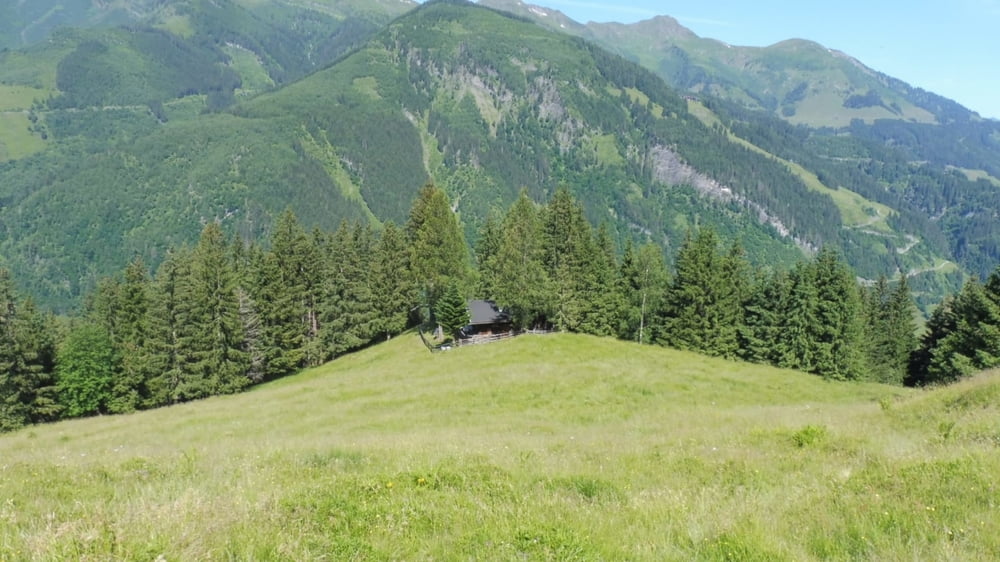
POI: Hangweg, Poseralm, Forsterbachtal
Tour gallery


Tour map and elevation profile
Minimum height 933 m
Maximum height 1348 m
More about the tour author

|
ejee |
Comments

GPS tracks
Trackpoints-
GPX / Garmin Map Source (gpx) download
-
TCX / Garmin Training Center® (tcx) download
-
CRS / Garmin Training Center® (crs) download
-
Google Earth (kml) download
-
G7ToWin (g7t) download
-
TTQV (trk) download
-
Overlay (ovl) download
-
Fugawi (txt) download
-
Kompass (DAV) Track (tk) download
-
Track data sheet (pdf) download
-
Original file of the author (gpx) download
More about the tour author
|
|
ejee |
Add to my favorites
Remove from my favorites
Edit tags
Open track
My score
Rate