Login

Forgot your login?

Cookies have to be accepted!
Your browser's cookie functionality is disabled. Please enable this functionality.

Not a member yet?

Register now
Login

Available for registred users only

Log in to use this feature.

Forgot your login?

Cookies have to be accepted!
Your browser's cookie functionality is disabled. Please enable this functionality.

Not a member yet?

Register now
Filter
Categories
Advanced filters
  • Distance (km)
  • Height
Save filters Reset filter

TrackRank

QRCode

Technical data

Distance9,5 km Height221 m Way down223 m Duration02:55 h:m Date30.06.2021
Scores Author Landscape Fun factor Fitness Technique

Statistics

195 Views Scores 7 Downloads Average
Rate
  • Track data sheet
  • Directions
  • Downloads

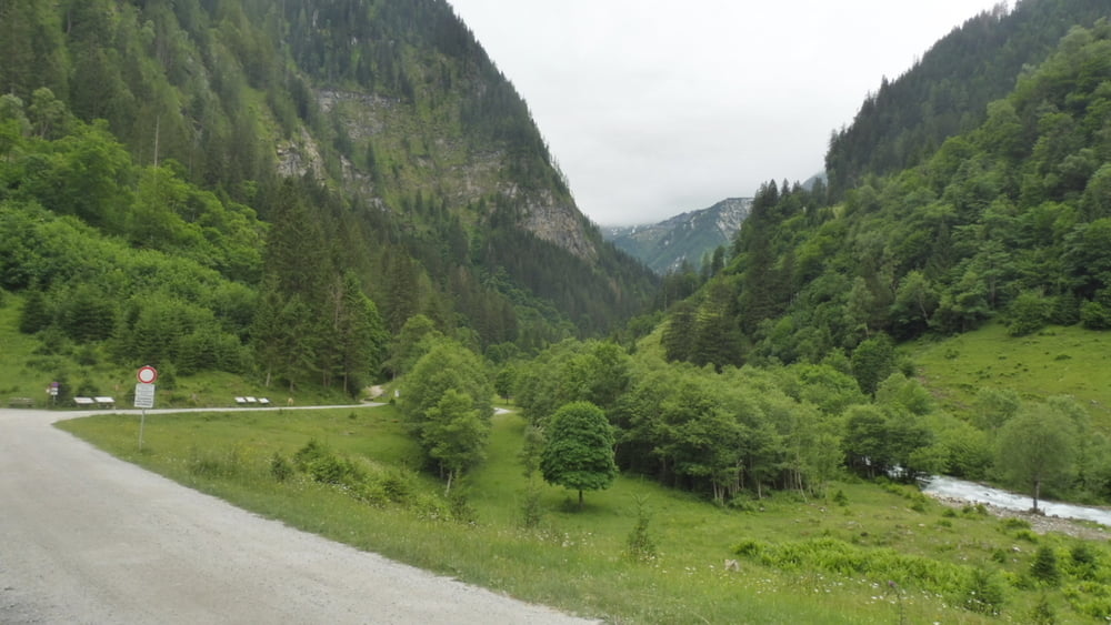
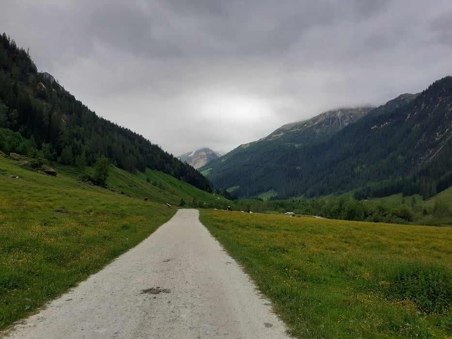
Wandern im Seidlwinkltal, dem „Tal der Säumer und Pilger“, bis zur Palfneralm.

Hinweise: Leichte Wandertour, Rückweg wie Hinweg, bedarfsweise kann auch der Tälerbus benutzt werden. Parkplatz und Tälerbus sind jeweils gebührenpflichtig.

Start/Ziel: Parkplatz Fleckweide

Markierung: 114

Route: Parkplatz Fleckweide – Gollehenalm – Palfneralm – Parkplatz Fleckweide

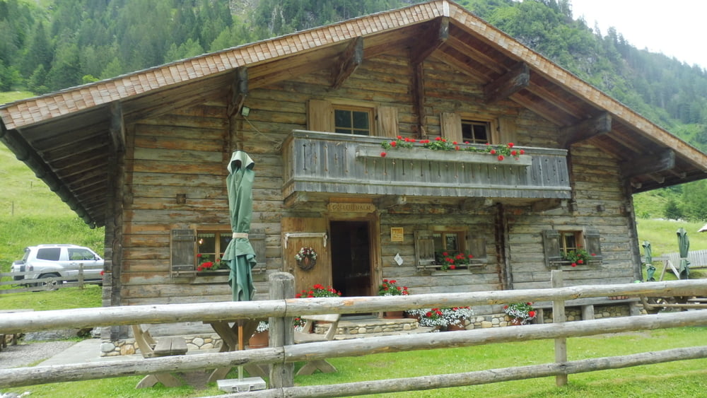
POI: Seidlwinkltal, Gollehenalm, Palfneralm

Tour gallery

Tour map and elevation profile

  • Open Street Map
  • Google
Minimum height 1112 m Maximum height 1333 m Detailed view

More about the tour author

ejee
Member since 2019

Send private message

Comments

GPS tracks

Trackpoints
  • GPX / Garmin Map Source (gpx) download
  • TCX / Garmin Training Center® (tcx) download
  • CRS / Garmin Training Center® (crs) download
  • Google Earth (kml) download
  • G7ToWin (g7t) download
  • TTQV (trk) download
  • Overlay (ovl) download
  • Fugawi (txt) download
  • Kompass (DAV) Track (tk) download
  • Track data sheet (pdf) download
  • Original file of the author (gpx) download

More about the tour author

ejee
Member since 2019

Send private message
Share track
Add to my favorites
Remove from my favorites
Edit tags
My score
Rate
Track: Im Seidlwinkltal - Bis zur Palfneralm wandern
Type: Hiking
Distance: 9,5 km
Evaluated on:
Duration:
Day(s)
Hour(s)
Minute(s)
Score: Landscape Fun factor Fitness Technique