


Start ist der Bahnhof in Donauwörth.
Entlang dem Lech geht es Richtung Augsburg und Königsbrunn.
Dort folgen wir der Wertach Richtung Türkheim.
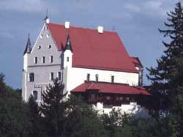
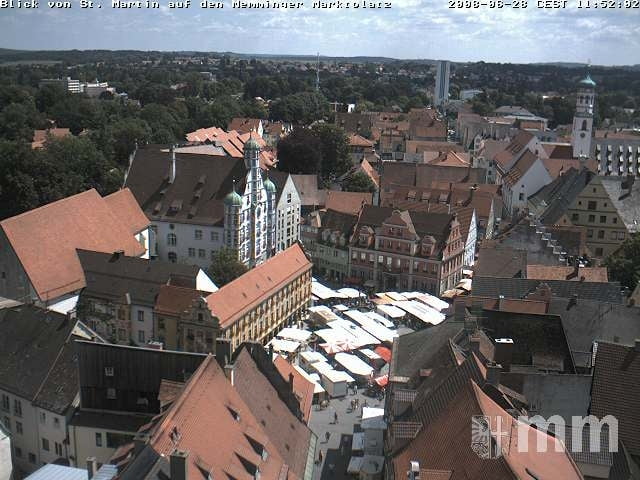
Über Mindelheim geht es über Ottobeuren Richtung Memmingen.
Von dort folgen wir dem Iller-Radweg nach Ulm.
Mit dem Zug geht es zurück nach Gersthofen. Alternativ kann man die Runde auch verlängern und den Donauradweg nach Donauwörth fahren.
Further information at
http://www.bayerisch-schwaben.info/Tour gallery
Tour map and elevation profile
Minimum height 169 m
Maximum height 676 m
More about the tour author
|
|
FozzyFozzborn |
Comments

A8 Ausfahrt Augsburg-West Richtung Norden nach Donauwörth.
GPS tracks
Trackpoints-
GPX / Garmin Map Source (gpx) download
-
TCX / Garmin Training Center® (tcx) download
-
CRS / Garmin Training Center® (crs) download
-
Google Earth (kml) download
-
G7ToWin (g7t) download
-
TTQV (trk) download
-
Overlay (ovl) download
-
Fugawi (txt) download
-
Kompass (DAV) Track (tk) download
-
Track data sheet (pdf) download
-
Original file of the author (gpx) download
More about the tour author
|
|
FozzyFozzborn |
Add to my favorites
Remove from my favorites
Edit tags
Open track
My score
Rate